Earthquake SOUTHERN ALASKA
Mon, 26 Jan 2026 13:18:15 GMT
Time19 hours ago
Location
59.8880, -152.2600
Depth
72.0 KM
Event Summary
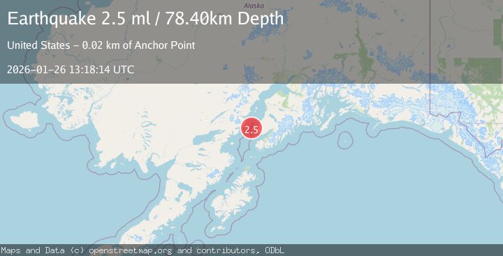
A 2.5 magnitude earthquake struck on SOUTHERN ALASKA, at Mon, 26 Jan 2026 13:18:15 GMT. Depth: 72km. Reviewed by AK seismologists, this minor quake occurred at a magnitude type of ml.
Magnitude
2.5
ml
Source
AK
Intensity
-
Agency Reports
1 Sources| Source | Magnitude | Depth | Time |
|---|---|---|---|
| AKPrimary | 2.5 | 72 km | 19 hours ago |
Earthquake Details
AutomaticEvent IDemsc_AK_20260126_0000229
Tsunami PotentialNo
Magnitude Typeml
Nearest Places
- Johnson River24.1 km
- Iliamna Point24.8 km
- Anchor River25.0 km
- Laida Spit25.1 km
- Granroos Creek25.1 km
Comments
Join the discussion about this event.
Latest Earthquakes
1.0Mag
127 km NW of Yakutat, Alaska
Time19 hours ago
Depth19.90 km
SourceUSGS (Automatic)
2.0Mag
WESTERN TURKEY
Time20 hours ago
Depth14.60 km
SourceEMSC (Automatic)
2.6Mag
Minahassa Peninsula, Sulawesi
Time20 hours ago
Depth2.18 km
SourceBMKG (Automatic)
2.8Mag
OFF COAST OF COSTA RICA
Time20 hours ago
Depth10.00 km
SourceUNA (Automatic)
3.0Mag
HOKKAIDO, JAPAN REGION
Time20 hours ago
Depth0.00 km
SourceJMA (Automatic)
Nearby Earthquakes
2.2Mag
52 km WNW of Anchor Point, Alaska
Time2 days ago
Depth101.30 km
SourceUSGS (Automatic)
1.8Mag
4 km WNW of Happy Valley, Alaska
Time1 day ago
Depth49.00 km
SourceUSGS (Automatic)
2.6Mag
59 km W of Anchor Point, Alaska
Time1 day ago
Depth84.90 km
SourceUSGS (Automatic)
1.9Mag
64 km WNW of Anchor Point, Alaska
Time4 days ago
Depth114.20 km
SourceUSGS (Automatic)
2.2Mag
61 km W of Anchor Point, Alaska
Time21 hours ago
Depth97.80 km
SourceUSGS (Automatic)