Earthquake ISLAND OF HAWAII, HAWAII
Thu, 19 Jul 2018 07:38:30 GMT
Time7 years ago
Location
19.3800, -155.0100
Depth
1.0 KM
Event Summary
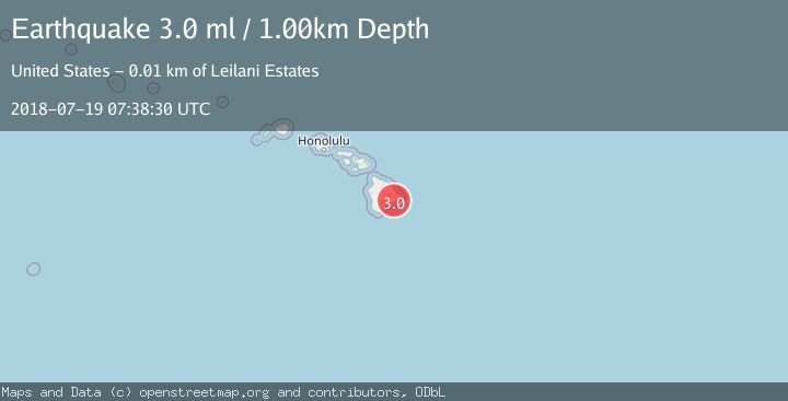
A 3.0 magnitude earthquake struck on ISLAND OF HAWAII, HAWAII, at Thu, 19 Jul 2018 07:38:30 GMT. Depth: 1km. Reviewed by NEIR seismologists, this minor quake occurred at a magnitude type of ml.
Magnitude
3.0
ml
Source
NEIR
Intensity
-
Agency Reports
1 Sources| Source | Magnitude | Depth | Time |
|---|---|---|---|
| NEIRPrimary | 3.0 | 1 km | 7 years ago |
Earthquake Details
AutomaticEvent IDemsc_NEIR_20180719_0000184
Tsunami PotentialNo
Magnitude Typeml
Nearest Places
- Kupahua0.9 km
- Kupahua Homesteads1.2 km
- Kaunaloa1.7 km
- Kapaahu2.1 km
- Makena2.6 km
Comments
Join the discussion about this event.
Latest Earthquakes
1.4Mag
12 km SSW of Salton City, CA
Time5 minutes ago
Depth5.74 km
SourceUSGS (Automatic)
1.2Mag
Southern Alaska
Time10 minutes ago
Depth37.11 km
SourceVYT (Automatic)
3.0Mag
Seram, Indonesia
Time10 minutes ago
Depth12.36 km
SourceBMKG
1.1Mag
Washington
Time14 minutes ago
Depth9.64 km
SourceVYT (Automatic)
1.3Mag
WESTERN TURKEY
Time14 minutes ago
Depth8.60 km
SourceAFAD (Automatic)
Nearby Earthquakes
3.0Mag
ISLAND OF HAWAII, HAWAII
Time7 years ago
Depth0.00 km
SourceNEIR (Automatic)
3.0Mag
ISLAND OF HAWAII, HAWAII
Time7 years ago
Depth0.00 km
SourceNEIR (Automatic)
2.1Mag
12 km SW of Pāhoa, Hawaii
Time3 weeks ago
Depth0.88 km
SourceUSGS (Automatic)
3.0Mag
HAWAII REGION, HAWAII
Time1 year ago
Depth4.70 km
SourceHV (Automatic)
1.9Mag
13 km SE of Eden Roc, Hawaii
Time3 weeks ago
Depth2.96 km
SourceUSGS (Automatic)