Earthquake 12 km SW of Pāhoa, Hawaii
Sun, 25 Jan 2026 03:10:50 GMT
Time2 days ago
Location
19.3993, -155.0167
Depth
0.9 KM
Event Summary
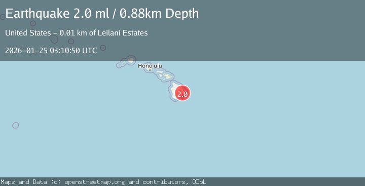
A 2.0 magnitude earthquake struck on 12 km SW of Pāhoa, Hawaii, at Sun, 25 Jan 2026 03:10:50 GMT. Depth: 0.879999995231628km. Reviewed by USGS seismologists, this minor quake occurred at a magnitude type of ml.
Magnitude
2.0
ml
Source
USGS
Intensity
-
Agency Reports
1 Sources| Source | Magnitude | Depth | Time |
|---|---|---|---|
| USGSPrimary | 2.0 | 1 km | 2 days ago |
Earthquake Details
AutomaticEvent IDusgs_hv74884172
Tsunami PotentialNo
Magnitude Typeml
Nearest Places
- Puu Kauka1.8 km
- Kauka Homesteads2.1 km
- Makena2.4 km
- Kupahua3.1 km
- Kupahua Homesteads3.2 km
Comments
Join the discussion about this event.
Latest Earthquakes
3.7Mag
Java, Indonesia
Time1 hour ago
Depth26.88 km
SourceBMKG (Automatic)
1.7Mag
20 km ENE of Arvin, CA
Time1 hour ago
Depth5.64 km
SourceUSGS (Automatic)
2.3Mag
57 km E of Pedro Bay, Alaska
Time1 hour ago
Depth120.40 km
SourceUSGS (Automatic)
2.3Mag
Bali Sea
Time1 hour ago
Depth13.31 km
SourceBMKG (Automatic)
1.9Mag
97 km S of Kokhanok, Alaska
Time1 hour ago
Depth5.00 km
SourceUSGS (Automatic)
Nearby Earthquakes
1.9Mag
13 km SE of Eden Roc, Hawaii
Time5 days ago
Depth2.96 km
SourceUSGS (Automatic)
2.2Mag
HAWAII REGION, HAWAII
Time1 day ago
Depth4.90 km
SourceHV (Automatic)
1.8Mag
20 km SSW of Leilani Estates, Hawaii
Time4 days ago
Depth32.14 km
SourceUSGS (Automatic)
1.8Mag
13 km SSE of Volcano, Hawaii
Time1 day ago
Depth2.87 km
SourceUSGS (Automatic)
1.8Mag
13 km SSE of Volcano, Hawaii
Time19 hours ago
Depth3.46 km
SourceUSGS (Automatic)