Earthquake SOUTHERN ALASKA
Mon, 12 Nov 2018 20:33:57 GMT
Time7 years ago
Location
61.5600, -146.4500
Depth
15.0 KM
Event Summary
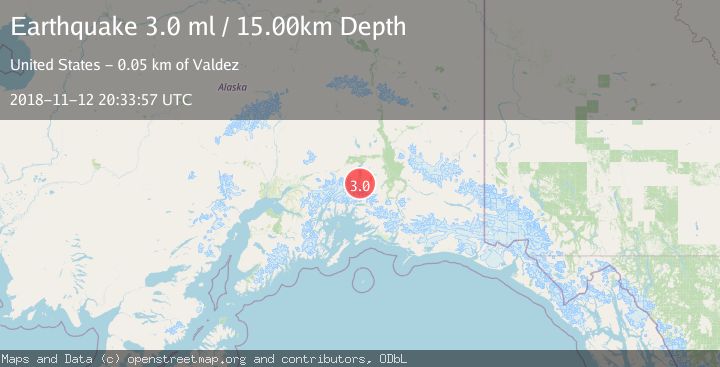
A 3.0 magnitude earthquake struck on SOUTHERN ALASKA, at Mon, 12 Nov 2018 20:33:57 GMT. Depth: 15km. Reviewed by NEIR seismologists, this minor quake occurred at a magnitude type of ml.
Magnitude
3.0
ml
Source
NEIR
Intensity
-
Agency Reports
1 Sources| Source | Magnitude | Depth | Time |
|---|---|---|---|
| NEIRPrimary | 3.0 | 15 km | 7 years ago |
Earthquake Details
AutomaticEvent IDemsc_NEIR_20181112_0000081
Tsunami PotentialNo
Magnitude Typeml
Nearest Places
- Iceberg Lake4.1 km
- Tazlina Glacier11.9 km
- Brontosaurus Mountain15.4 km
- Terrace Mountain17.8 km
- Klanelneechena Creek19.8 km
Comments
Join the discussion about this event.
Latest Earthquakes
2.8Mag
West Papua Region, Indonesia
Time7 minutes ago
Depth34.12 km
SourceBMKG
3.6Mag
NORTHERN ALGERIA
Time14 minutes ago
Depth5.80 km
SourceIGN (Automatic)
2.6Mag
Java, Indonesia
Time17 minutes ago
Depth214.22 km
SourceBMKG
1.0Mag
Southeastern Alaska
Time17 minutes ago
Depth0.00 km
SourceVYT (Automatic)
3.5Mag
COOK STRAIT, NEW ZEALAND
Time19 minutes ago
Depth75.30 km
SourceGNS (Automatic)
Nearby Earthquakes
3.0Mag
SOUTHERN ALASKA
Time8 years ago
Depth28.00 km
SourceNEIC (Automatic)
3.1Mag
48 km N of Valdez, Alaska
Time2 weeks ago
Depth19.70 km
SourceUSGS (Automatic)
3.0Mag
SOUTHERN ALASKA
Time7 years ago
Depth13.00 km
SourceNEIC (Automatic)
3.0Mag
SOUTHERN ALASKA
Time7 years ago
Depth15.00 km
SourceNEIR (Automatic)
3.0Mag
SOUTHERN ALASKA
Time7 years ago
Depth30.00 km
SourceNEIR (Automatic)