Earthquake ISLAND OF HAWAII, HAWAII
Thu, 30 Jan 2020 11:51:57 GMT
Time6 years ago
Location
19.3300, -155.1200
Depth
7.0 KM
Event Summary
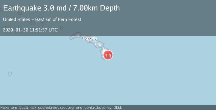
A 3.0 magnitude earthquake struck on ISLAND OF HAWAII, HAWAII, at Thu, 30 Jan 2020 11:51:57 GMT. Depth: 7km. Reviewed by NEIR seismologists, this minor quake occurred at a magnitude type of md.
Magnitude
3.0
md
Source
NEIR
Intensity
-
Agency Reports
1 Sources| Source | Magnitude | Depth | Time |
|---|---|---|---|
| NEIRPrimary | 3.0 | 7 km | 6 years ago |
Earthquake Details
AutomaticEvent IDemsc_NEIR_20200130_0000098
Tsunami PotentialNo
Magnitude Typemd
Nearest Places
- Pānau Nui2.2 km
- Holei2.3 km
- Panau Iki3.0 km
- Puna Trail3.2 km
- Naulu Forest3.7 km
Comments
Join the discussion about this event.
Latest Earthquakes
2.2Mag
Dead Sea region
Time57 seconds ago
Depth1.95 km
SourceVYT (Automatic)
1.7Mag
Southern Alaska
Time13 minutes ago
Depth16.24 km
SourceVYT (Automatic)
3.0Mag
Southern Alaska
Time19 minutes ago
Depth53.34 km
SourceVYT (Automatic)
1.9Mag
Tarapaca, Chile
Time20 minutes ago
Depth0.00 km
SourceVYT (Automatic)
1.4Mag
WESTERN TURKEY
Time23 minutes ago
Depth7.00 km
SourceAFAD (Automatic)
Nearby Earthquakes
3.0Mag
ISLAND OF HAWAII, HAWAII
Time10 years ago
Depth7.00 km
SourceNEIR (Automatic)
2.5Mag
ISLAND OF HAWAII, HAWAII
Time1 month ago
Depth3.70 km
SourceHV (Automatic)
3.0Mag
ISLAND OF HAWAII, HAWAII
Time6 years ago
Depth6.00 km
SourceNEIR (Automatic)
3.0Mag
ISLAND OF HAWAII, HAWAII
Time11 years ago
Depth8.00 km
SourceNEIC (Automatic)
3.0Mag
ISLAND OF HAWAII, HAWAII
Time10 years ago
Depth8.00 km
SourceNEIC (Automatic)