Earthquake PHILIPPINE ISLANDS REGION
Wed, 07 Jan 2026 15:08:43 GMT
Time1 month ago
Location
7.2400, 127.1500
Depth
4.0 KM
Event Summary
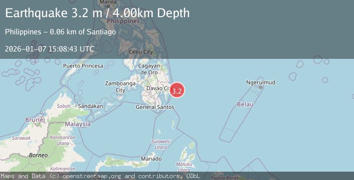
A 3.2 magnitude earthquake struck on PHILIPPINE ISLANDS REGION, at Wed, 07 Jan 2026 15:08:43 GMT. Depth: 4km. Reviewed by PIVS seismologists, this minor quake occurred at a magnitude type of m.
Magnitude
3.2
m
Source
PIVS
Intensity
-
Agency Reports
1 Sources| Source | Magnitude | Depth | Time |
|---|---|---|---|
| PIVSPrimary | 3.2 | 4 km | 1 month ago |
Earthquake Details
AutomaticEvent IDemsc_PIVS_20260107_0000258
Tsunami PotentialNo
Magnitude Typem
Nearest Places
- Pusan Point60.5 km
- Caraga Bay62.8 km
- Santiago63.0 km
- Bunga Cove63.4 km
- Batinao Point63.8 km
Comments
Join the discussion about this event.
Latest Earthquakes
1.4Mag
7 km SSE of Santa Barbara, CA
Time6 minutes ago
Depth8.57 km
SourceUSGS (Automatic)
1.8Mag
8 km WNW of Waimea, Hawaii
Time9 minutes ago
Depth10.99 km
SourceUSGS (Automatic)
2.0Mag
NEAR THE COAST OF WESTERN TURKEY
Time10 minutes ago
Depth4.60 km
SourceKOERI (Automatic)
1.8Mag
Southeastern Alaska
Time10 minutes ago
Depth0.00 km
SourceVYT (Automatic)
2.6Mag
northern Alaska
Time11 minutes ago
Depth206.30 km
SourceVYT (Automatic)
Nearby Earthquakes
3.0Mag
PHILIPPINE ISLANDS REGION
Time4 months ago
Depth14.00 km
SourcePIVS (Automatic)
4.0Mag
PHILIPPINE ISLANDS REGION
Time4 months ago
Depth10.00 km
SourceBMKG (Automatic)
3.0Mag
PHILIPPINE ISLANDS REGION
Time4 months ago
Depth3.00 km
SourcePIVS (Automatic)
3.0Mag
PHILIPPINE ISLANDS REGION
Time5 years ago
Depth97.00 km
SourcePIVS (Automatic)
3.0Mag
PHILIPPINE ISLANDS REGION
Time2 weeks ago
Depth32.00 km
SourcePIVS (Automatic)