Earthquake 7 km SSE of Santa Barbara, CA
Fri, 20 Feb 2026 14:27:38 GMT
Time1 hour ago
Location
34.3645, -119.6763
Depth
8.6 KM
Event Summary
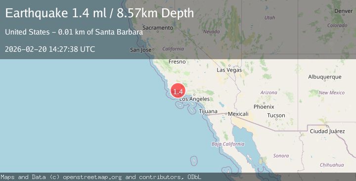
A 1.4 magnitude earthquake struck on 7 km SSE of Santa Barbara, CA, at Fri, 20 Feb 2026 14:27:38 GMT. Depth: 8.57km. Reviewed by USGS seismologists, this minor quake occurred at a magnitude type of ml.
Magnitude
1.4
ml
Source
USGS
Intensity
-
Agency Reports
1 Sources| Source | Magnitude | Depth | Time |
|---|---|---|---|
| USGSPrimary | 1.4 | 9 km | 1 hour ago |
Earthquake Details
AutomaticEvent IDusgs_ci41400416
Tsunami PotentialNo
Magnitude Typeml
Nearest Places
- Santa Barbara Point4.4 km
- Santa Barbara Harbor4.5 km
- Shoreline Park4.5 km
- Leadbetter Beach4.6 km
- Santa Barbara Yacht Club4.6 km
Comments
Join the discussion about this event.
Latest Earthquakes
1.8Mag
8 km WNW of Waimea, Hawaii
Time1 hour ago
Depth10.99 km
SourceUSGS (Automatic)
1.8Mag
Southeastern Alaska
Time1 hour ago
Depth0.00 km
SourceVYT (Automatic)
2.6Mag
northern Alaska
Time1 hour ago
Depth206.30 km
SourceVYT (Automatic)
3.4Mag
OFF W. COAST OF S. ISLAND, N.Z.
Time1 hour ago
Depth5.00 km
SourceGNS (Automatic)
2.1Mag
NEAR THE COAST OF WESTERN TURKEY
Time1 hour ago
Depth6.40 km
SourceKOERI (Automatic)
Nearby Earthquakes
1.6Mag
9 km SE of Isla Vista, CA
Time2 weeks ago
Depth3.86 km
SourceUSGS (Automatic)
1.7Mag
5 km S of Carpinteria, CA
Time3 weeks ago
Depth3.45 km
SourceUSGS (Automatic)
2.3Mag
SANTA BARBARA CHANNEL, CALIF.
Time1 month ago
Depth0.80 km
SourceSCSN (Automatic)
2.9Mag
SANTA BARBARA CHANNEL, CALIF.
Time1 month ago
Depth5.00 km
SourceNEIC (Automatic)
1.9Mag
13 km NE of Carpinteria, CA
Time3 weeks ago
Depth2.49 km
SourceUSGS (Automatic)