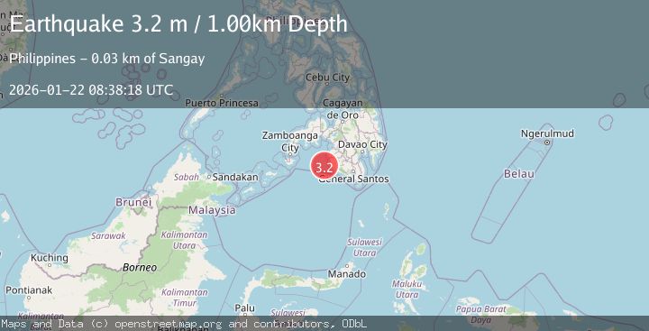
Earthquake MORO GULF, MINDANAO, PHILIPPINES
Thu, 22 Jan 2026 08:38:18 GMT
Time5 days ago
Location
6.4000, 123.7500
Depth
1.0 KM
Event Summary
A 3.2 magnitude earthquake struck on MORO GULF, MINDANAO, PHILIPPINES, at Thu, 22 Jan 2026 08:38:18 GMT. Depth: 1km. Reviewed by PIVS seismologists, this minor quake occurred at a magnitude type of m.
Magnitude
3.2
m
Source
PIVS
Intensity
-
Agency Reports
1 Sources| Source | Magnitude | Depth | Time |
|---|---|---|---|
| PIVSPrimary | 3.2 | 1 km | 5 days ago |
Earthquake Details
AutomaticEvent IDemsc_PIVS_20260122_0000139
Tsunami PotentialNo
Magnitude Typem
Nearest Places
- Donaung Shoals29.6 km
- Donauang Island30.8 km
- Danawan Point31.7 km
- Basiauang Bay31.7 km
- Sangay Point31.8 km
Comments
Join the discussion about this event.
Latest Earthquakes
3.7Mag
VALPARAISO, CHILE
Time6 minutes ago
Depth27.60 km
SourceCSN (Automatic)
2.0Mag
CENTRAL TURKEY
Time9 minutes ago
Depth23.50 km
SourceKOERI (Automatic)
3.2Mag
OFFSHORE EL SALVADOR
Time10 minutes ago
Depth28.00 km
SourceINET (Automatic)
3.1Mag
South of Java, Indonesia
Time11 minutes ago
Depth5.01 km
SourceBMKG (Automatic)
2.2Mag
Near North Coast of West Papua
Time13 minutes ago
Depth10.00 km
SourceBMKG (Automatic)
Nearby Earthquakes
4.2Mag
MORO GULF, MINDANAO, PHILIPPINES
Time6 days ago
Depth10.00 km
SourcePIVS (Automatic)
3.0Mag
MORO GULF, MINDANAO, PHILIPPINES
Time1 day ago
Depth23.00 km
SourcePIVS (Automatic)
3.6Mag
MORO GULF, MINDANAO, PHILIPPINES
Time4 days ago
Depth6.00 km
SourcePIVS (Automatic)
3.4Mag
MORO GULF, MINDANAO, PHILIPPINES
Time4 days ago
Depth9.00 km
SourcePIVS (Automatic)
5.4Mag
32 km WSW of Sangay, Philippines
Time6 days ago
Depth8.76 km
SourceUSGS