Earthquake MORO GULF, MINDANAO, PHILIPPINES
Thu, 22 Jan 2026 21:27:00 GMT
Time4 days ago
Location
6.4400, 123.7100
Depth
9.0 KM
Event Summary
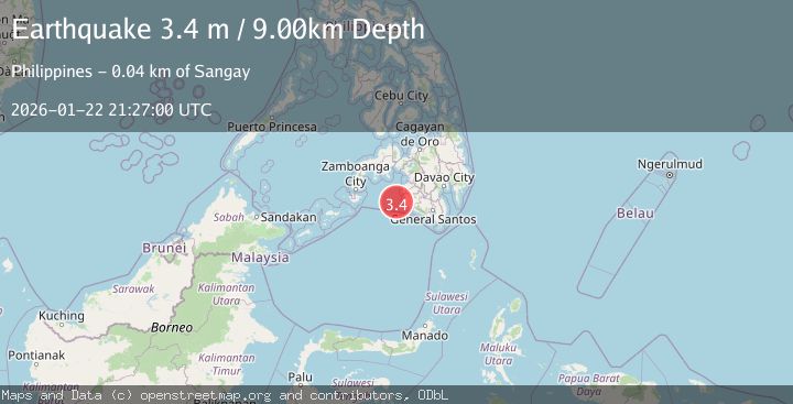
A 3.4 magnitude earthquake struck on MORO GULF, MINDANAO, PHILIPPINES, at Thu, 22 Jan 2026 21:27:00 GMT. Depth: 9km. Reviewed by PIVS seismologists, this minor quake occurred at a magnitude type of m.
Magnitude
3.4
m
Source
PIVS
Intensity
-
Agency Reports
1 Sources| Source | Magnitude | Depth | Time |
|---|---|---|---|
| PIVSPrimary | 3.4 | 9 km | 4 days ago |
Earthquake Details
AutomaticEvent IDemsc_PIVS_20260122_0000383
Tsunami PotentialNo
Magnitude Typem
Nearest Places
- Donaung Shoals31.9 km
- Donauang Island34.6 km
- Basiauang Bay35.3 km
- Danawan Point35.5 km
- Basiauang Point35.6 km
Comments
Join the discussion about this event.
Latest Earthquakes
1.4Mag
41 km NW of Toyah, Texas
Time6 minutes ago
Depth2.74 km
SourceUSGS (Automatic)
2.0Mag
Sumbawa Region, Indonesia
Time11 minutes ago
Depth107.77 km
SourceBMKG (Automatic)
1.7Mag
26 km WNW of Ludlow, CA
Time15 minutes ago
Depth1.36 km
SourceUSGS (Automatic)
3.1Mag
HAITI REGION
Time17 minutes ago
Depth7.00 km
SourceAYIT (Automatic)
2.6Mag
PUERTO RICO
Time23 minutes ago
Depth16.10 km
SourcePR (Automatic)
Nearby Earthquakes
3.1Mag
MORO GULF, MINDANAO, PHILIPPINES
Time4 days ago
Depth10.00 km
SourcePIVS (Automatic)
3.6Mag
MORO GULF, MINDANAO, PHILIPPINES
Time1 day ago
Depth3.00 km
SourcePIVS (Automatic)
3.6Mag
MORO GULF, MINDANAO, PHILIPPINES
Time4 days ago
Depth6.00 km
SourcePIVS (Automatic)
4.2Mag
MORO GULF, MINDANAO, PHILIPPINES
Time6 days ago
Depth10.00 km
SourcePIVS (Automatic)
3.1Mag
MORO GULF, MINDANAO, PHILIPPINES
Time5 days ago
Depth15.00 km
SourcePIVS (Automatic)