Earthquake MORO GULF, MINDANAO, PHILIPPINES
Thu, 22 Jan 2026 16:17:49 GMT
Time4 days ago
Location
6.3800, 123.6500
Depth
4.0 KM
Event Summary
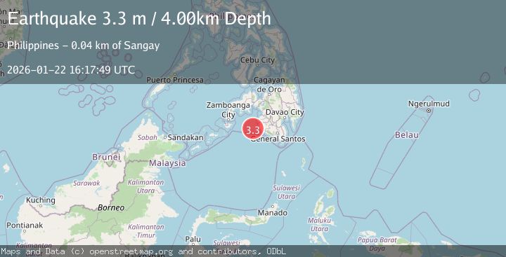
A 3.3 magnitude earthquake struck on MORO GULF, MINDANAO, PHILIPPINES, at Thu, 22 Jan 2026 16:17:49 GMT. Depth: 4km. Reviewed by PIVS seismologists, this minor quake occurred at a magnitude type of m.
Magnitude
3.3
m
Source
PIVS
Intensity
-
Agency Reports
1 Sources| Source | Magnitude | Depth | Time |
|---|---|---|---|
| PIVSPrimary | 3.3 | 4 km | 4 days ago |
Earthquake Details
AutomaticEvent IDemsc_PIVS_20260122_0000291
Tsunami PotentialNo
Magnitude Typem
Nearest Places
- Donaung Shoals40.5 km
- Donauang Island42.1 km
- Danawan Point42.9 km
- Basiauang Bay42.9 km
- Sangay Point43.0 km
Comments
Join the discussion about this event.
Latest Earthquakes
2.2Mag
NEVADA
Time16 hours ago
Depth8.30 km
SourceNN (Automatic)
1.8Mag
13 km SSE of Volcano, Hawaii
Time16 hours ago
Depth3.46 km
SourceUSGS (Automatic)
1.4Mag
10 km N of Hollister, CA
Time16 hours ago
Depth10.13 km
SourceUSGS (Automatic)
1.2Mag
13 km WSW of Stanton, Texas
Time16 hours ago
Depth3.46 km
SourceUSGS (Automatic)
3.5Mag
South of Java, Indonesia
Time16 hours ago
Depth175.60 km
SourceBMKG (Automatic)
Nearby Earthquakes
3.3Mag
MORO GULF, MINDANAO, PHILIPPINES
Time5 days ago
Depth13.00 km
SourcePIVS (Automatic)
3.4Mag
MORO GULF, MINDANAO, PHILIPPINES
Time5 days ago
Depth23.00 km
SourcePIVS (Automatic)
3.3Mag
MORO GULF, MINDANAO, PHILIPPINES
Time5 days ago
Depth2.00 km
SourcePIVS (Automatic)
3.1Mag
MORO GULF, MINDANAO, PHILIPPINES
Time6 days ago
Depth9.00 km
SourcePIVS (Automatic)
3.3Mag
MORO GULF, MINDANAO, PHILIPPINES
Time6 days ago
Depth23.00 km
SourcePIVS (Automatic)