Earthquake MORO GULF, MINDANAO, PHILIPPINES
Fri, 23 Jan 2026 10:10:16 GMT
Time4 days ago
Location
6.4400, 123.6900
Depth
10.0 KM
Event Summary
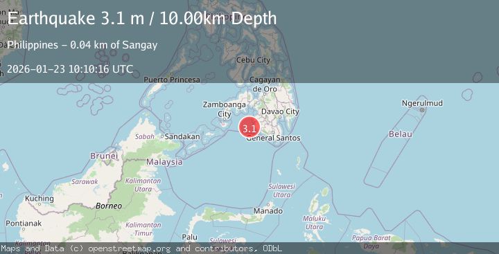
A 3.1 magnitude earthquake struck on MORO GULF, MINDANAO, PHILIPPINES, at Fri, 23 Jan 2026 10:10:16 GMT. Depth: 10km. Reviewed by PIVS seismologists, this minor quake occurred at a magnitude type of m.
Magnitude
3.1
m
Source
PIVS
Intensity
-
Agency Reports
1 Sources| Source | Magnitude | Depth | Time |
|---|---|---|---|
| PIVSPrimary | 3.1 | 10 km | 4 days ago |
Earthquake Details
AutomaticEvent IDemsc_PIVS_20260123_0000151
Tsunami PotentialNo
Magnitude Typem
Nearest Places
- Donaung Shoals34.0 km
- Donauang Island36.8 km
- Basiauang Bay37.5 km
- Danawan Point37.7 km
- Basiauang Point37.8 km
Comments
Join the discussion about this event.
Latest Earthquakes
3.7Mag
Java, Indonesia
Time9 minutes ago
Depth26.88 km
SourceBMKG (Automatic)
1.7Mag
20 km ENE of Arvin, CA
Time10 minutes ago
Depth5.64 km
SourceUSGS (Automatic)
2.3Mag
57 km E of Pedro Bay, Alaska
Time15 minutes ago
Depth120.40 km
SourceUSGS (Automatic)
2.3Mag
Bali Sea
Time17 minutes ago
Depth13.31 km
SourceBMKG (Automatic)
1.9Mag
97 km S of Kokhanok, Alaska
Time21 minutes ago
Depth5.00 km
SourceUSGS (Automatic)
Nearby Earthquakes
3.6Mag
MORO GULF, MINDANAO, PHILIPPINES
Time1 day ago
Depth3.00 km
SourcePIVS (Automatic)
3.4Mag
MORO GULF, MINDANAO, PHILIPPINES
Time4 days ago
Depth9.00 km
SourcePIVS (Automatic)
3.1Mag
MORO GULF, MINDANAO, PHILIPPINES
Time6 days ago
Depth15.00 km
SourcePIVS (Automatic)
3.3Mag
MORO GULF, MINDANAO, PHILIPPINES
Time6 days ago
Depth23.00 km
SourcePIVS (Automatic)
3.2Mag
MORO GULF, MINDANAO, PHILIPPINES
Time1 day ago
Depth3.00 km
SourcePIVS (Automatic)