Earthquake MORO GULF, MINDANAO, PHILIPPINES
Mon, 26 Jan 2026 11:52:13 GMT
Time1 day ago
Location
6.4900, 123.6700
Depth
3.0 KM
Event Summary
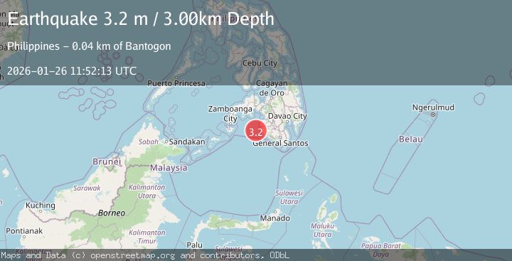
A 3.2 magnitude earthquake struck on MORO GULF, MINDANAO, PHILIPPINES, at Mon, 26 Jan 2026 11:52:13 GMT. Depth: 3km. Reviewed by PIVS seismologists, this minor quake occurred at a magnitude type of m.
Magnitude
3.2
m
Source
PIVS
Intensity
-
Agency Reports
1 Sources| Source | Magnitude | Depth | Time |
|---|---|---|---|
| PIVSPrimary | 3.2 | 3 km | 1 day ago |
Earthquake Details
AutomaticEvent IDemsc_PIVS_20260126_0000215
Tsunami PotentialNo
Magnitude Typem
Nearest Places
- Donaung Shoals35.1 km
- Nara Point39.0 km
- Donauang Island39.1 km
- Point Pitas39.4 km
- Pidtaguinan Point39.5 km
Comments
Join the discussion about this event.
Latest Earthquakes
2.4Mag
Bali Region, Indonesia
Time2 minutes ago
Depth110.29 km
SourceBMKG (Automatic)
5.4Mag
Mindanao, Philippines
Time7 minutes ago
Depth10.00 km
SourceBMKG (Automatic)
1.5Mag
16 km WSW of Johannesburg, CA
Time12 minutes ago
Depth8.58 km
SourceUSGS (Automatic)
1.9Mag
20 km SE of Naalehu, Hawaii
Time20 minutes ago
Depth34.08 km
SourceUSGS (Automatic)
1.6Mag
CENTRAL TURKEY
Time23 minutes ago
Depth7.00 km
SourceAFAD (Automatic)
Nearby Earthquakes
3.1Mag
MORO GULF, MINDANAO, PHILIPPINES
Time6 days ago
Depth15.00 km
SourcePIVS (Automatic)
3.0Mag
MORO GULF, MINDANAO, PHILIPPINES
Time4 days ago
Depth6.00 km
SourcePIVS (Automatic)
3.6Mag
MORO GULF, MINDANAO, PHILIPPINES
Time1 day ago
Depth3.00 km
SourcePIVS (Automatic)
3.3Mag
MORO GULF, MINDANAO, PHILIPPINES
Time6 days ago
Depth23.00 km
SourcePIVS (Automatic)
3.1Mag
MORO GULF, MINDANAO, PHILIPPINES
Time4 days ago
Depth10.00 km
SourcePIVS (Automatic)