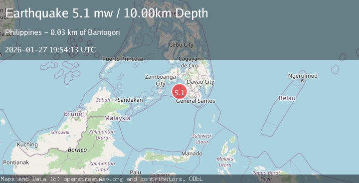
Earthquake MORO GULF, MINDANAO, PHILIPPINES
Tue, 27 Jan 2026 19:32:13 GMT
Time5 hours ago
Location
6.3400, 123.6500
Depth
25.0 KM
Event Summary
A 3.7 magnitude earthquake struck on MORO GULF, MINDANAO, PHILIPPINES, at Tue, 27 Jan 2026 19:32:13 GMT. Depth: 25km. Reviewed by PIVS seismologists, this minor quake occurred at a magnitude type of m.
Magnitude
3.7
m
Source
PIVS
Intensity
-
Agency Reports
1 Sources| Source | Magnitude | Depth | Time |
|---|---|---|---|
| PIVSPrimary | 3.7 | 25 km | 5 hours ago |
Earthquake Details
AutomaticEvent IDemsc_PIVS_20260127_0000365
Tsunami PotentialNo
Magnitude Typem
Nearest Places
- Donaung Shoals42.5 km
- Donauang Island43.3 km
- Sangay Point43.7 km
- Danawan Point44.1 km
- Basiauang Bay44.2 km
Comments
Join the discussion about this event.
Latest Earthquakes
1.8Mag
39 km N of Glacier View, Alaska
Time5 hours ago
Depth36.20 km
SourceUSGS (Automatic)
1.2Mag
4 km N of Ocotillo Wells, CA
Time5 hours ago
Depth4.74 km
SourceUSGS (Automatic)
2.9Mag
SOUTHERN GREECE
Time5 hours ago
Depth13.80 km
SourceNOA (Automatic)
3.0Mag
MINDORO, PHILIPPINES
Time5 hours ago
Depth5.00 km
SourcePIVS (Automatic)
2.7Mag
Southern Sumatra, Indonesia
Time5 hours ago
Depth10.00 km
SourceBMKG (Automatic)
Nearby Earthquakes
3.3Mag
MORO GULF, MINDANAO, PHILIPPINES
Time5 days ago
Depth4.00 km
SourcePIVS (Automatic)
3.4Mag
MORO GULF, MINDANAO, PHILIPPINES
Time5 days ago
Depth23.00 km
SourcePIVS (Automatic)
3.3Mag
MORO GULF, MINDANAO, PHILIPPINES
Time5 days ago
Depth13.00 km
SourcePIVS (Automatic)
3.0Mag
MORO GULF, MINDANAO, PHILIPPINES
Time6 days ago
Depth24.00 km
SourcePIVS (Automatic)
3.3Mag
MORO GULF, MINDANAO, PHILIPPINES
Time6 days ago
Depth2.00 km
SourcePIVS (Automatic)