Earthquake MORO GULF, MINDANAO, PHILIPPINES
Sat, 31 Jan 2026 12:48:18 GMT
Time3 hours ago
Location
6.4200, 123.7800
Depth
6.0 KM
Event Summary
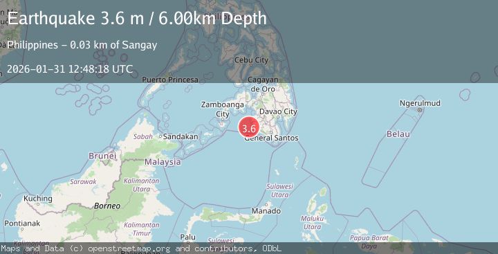
A 3.6 magnitude earthquake struck on MORO GULF, MINDANAO, PHILIPPINES, at Sat, 31 Jan 2026 12:48:18 GMT. Depth: 6km. Reviewed by PIVS seismologists, this minor quake occurred at a magnitude type of m.
Magnitude
3.6
m
Source
PIVS
Intensity
-
Agency Reports
1 Sources| Source | Magnitude | Depth | Time |
|---|---|---|---|
| PIVSPrimary | 3.6 | 6 km | 3 hours ago |
Earthquake Details
AutomaticEvent IDemsc_PIVS_20260131_0000196
Tsunami PotentialNo
Magnitude Typem
Nearest Places
- Donaung Shoals25.6 km
- Donauang Island27.1 km
- Basiauang Bay28.0 km
- Danawan Point28.0 km
- Basiauang Point28.3 km
Comments
Join the discussion about this event.
Latest Earthquakes
3.0Mag
MAHARASHTRA-KARNATAKA REG, INDIA
Time3 hours ago
Depth10.00 km
SourceNDI (Automatic)
2.5Mag
Java, Indonesia
Time3 hours ago
Depth19.83 km
SourceBMKG (Automatic)
2.5Mag
ANTOFAGASTA, CHILE
Time3 hours ago
Depth125.00 km
SourceCSN (Automatic)
3.5Mag
West Papua, Indonesia
Time3 hours ago
Depth10.00 km
SourceBMKG (Automatic)
1.4Mag
11 km WSW of Stanton, Texas
Time3 hours ago
Depth4.94 km
SourceUSGS (Automatic)
Nearby Earthquakes
3.0Mag
MORO GULF, MINDANAO, PHILIPPINES
Time5 days ago
Depth23.00 km
SourcePIVS (Automatic)
5.0Mag
Mindanao, Philippines
Time3 days ago
Depth10.00 km
SourceBMKG (Automatic)
4.2Mag
MORO GULF, MINDANAO, PHILIPPINES
Time1 week ago
Depth10.00 km
SourcePIVS (Automatic)
4.7Mag
MORO GULF, MINDANAO, PHILIPPINES
Time4 days ago
Depth35.00 km
SourceEMSC (Automatic)
3.2Mag
MORO GULF, MINDANAO, PHILIPPINES
Time1 week ago
Depth1.00 km
SourcePIVS (Automatic)