Earthquake MORO GULF, MINDANAO, PHILIPPINES
Tue, 27 Jan 2026 14:47:41 GMT
Time11 hours ago
Location
6.4533, 123.7918
Depth
35.0 KM
Event Summary
A 4.7 magnitude earthquake struck on MORO GULF, MINDANAO, PHILIPPINES, at Tue, 27 Jan 2026 14:47:41 GMT. Depth: 35km. Reviewed by EMSC seismologists, this light quake occurred at a magnitude type of mb.
Magnitude
4.7
mb
Source
EMSC
Intensity
-
Agency Reports
1 Sources| Source | Magnitude | Depth | Time |
|---|---|---|---|
| EMSCPrimary | 4.7 | 35 km | 11 hours ago |
Earthquake Details
AutomaticEvent IDemsc_EMSC_20260127_0000269
Tsunami PotentialNo
Magnitude Typemb
Nearest Places
- Donaung Shoals22.9 km
- Donauang Island25.5 km
- Basiauang Bay26.2 km
- Danawan Point26.4 km
- Basiauang Point26.5 km
Comments
Join the discussion about this event.
Latest Earthquakes
1.3Mag
52 km S of Glacier View, Alaska
Time11 hours ago
Depth5.00 km
SourceUSGS (Automatic)
0.9Mag
4 km WNW of The Geysers, CA
Time11 hours ago
Depth0.76 km
SourceUSGS (Automatic)
2.8Mag
Minahassa Peninsula, Sulawesi
Time11 hours ago
Depth10.00 km
SourceBMKG (Automatic)
2.0Mag
34 km NE of Paxson, Alaska
Time11 hours ago
Depth11.60 km
SourceUSGS (Automatic)
3.0Mag
WESTERN MEDITERRANEAN SEA
Time11 hours ago
Depth5.00 km
SourceReNaSS (Automatic)
Nearby Earthquakes
4.5Mag
Mindanao, Philippines
Time2 days ago
Depth170.01 km
SourceBMKG (Automatic)
3.0Mag
MORO GULF, MINDANAO, PHILIPPINES
Time1 day ago
Depth23.00 km
SourcePIVS (Automatic)
4.2Mag
MORO GULF, MINDANAO, PHILIPPINES
Time6 days ago
Depth10.00 km
SourcePIVS (Automatic)
3.6Mag
MORO GULF, MINDANAO, PHILIPPINES
Time5 days ago
Depth6.00 km
SourcePIVS (Automatic)
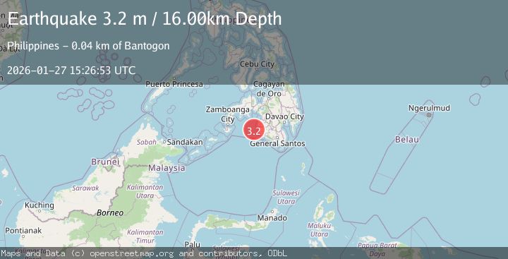
3.2Mag
MORO GULF, MINDANAO, PHILIPPINES
Time6 days ago
Depth14.00 km
SourcePIVS (Automatic)