Earthquake PHILIPPINE ISLANDS REGION
Sun, 15 Feb 2026 08:24:01 GMT
Time4 days ago
Location
5.2900, 127.5300
Depth
33.0 KM
Event Summary
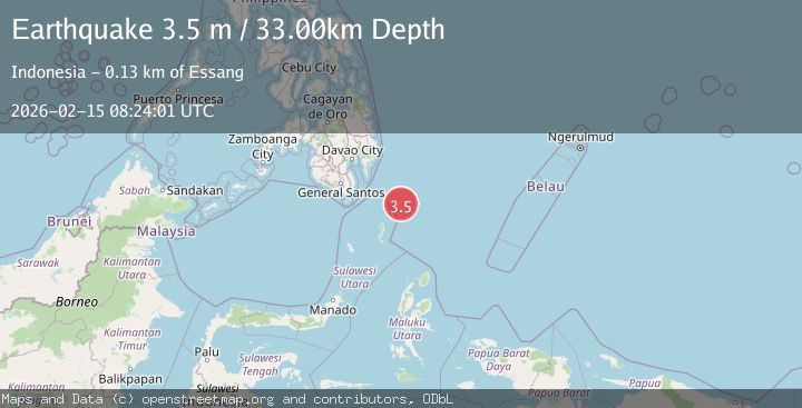
A 3.5 magnitude earthquake struck on PHILIPPINE ISLANDS REGION, at Sun, 15 Feb 2026 08:24:01 GMT. Depth: 33km. Reviewed by PIVS seismologists, this minor quake occurred at a magnitude type of m.
Magnitude
3.5
m
Source
PIVS
Intensity
-
Agency Reports
1 Sources| Source | Magnitude | Depth | Time |
|---|---|---|---|
| PIVSPrimary | 3.5 | 33 km | 4 days ago |
Earthquake Details
AutomaticEvent IDemsc_PIVS_20260215_0000106
Tsunami PotentialNo
Magnitude Typem
Nearest Places
- Desa Marampit Timur73.5 km
- Desa Marampit73.8 km
- Kecamatan Nanusa74.5 km
- Desa Dampulis74.6 km
- Pulau Marampit74.6 km
Comments
Join the discussion about this event.
Latest Earthquakes
2.3Mag
Sulawesi, Indonesia
Time14 hours ago
Depth5.74 km
SourceBMKG
1.5Mag
Southern Alaska
Time14 hours ago
Depth40.04 km
SourceVYT (Automatic)
4.3Mag
OFFSHORE EL SALVADOR
Time14 hours ago
Depth29.00 km
SourceINET (Automatic)
0.7Mag
8 km NW of The Geysers, CA
Time14 hours ago
Depth1.59 km
SourceUSGS (Automatic)
1.2Mag
Southern Alaska
Time14 hours ago
Depth16.72 km
SourceVYT (Automatic)
Nearby Earthquakes
5.0Mag
PHILIPPINE ISLANDS REGION
Time1 year ago
Depth109.00 km
SourceEMSC (Automatic)
3.0Mag
PHILIPPINE ISLANDS REGION
Time1 year ago
Depth9.00 km
SourcePIVS (Automatic)
5.0Mag
PHILIPPINE ISLANDS REGION
Time16 years ago
Depth143.00 km
SourceEMSC (Automatic)
5.3Mag
PHILIPPINE ISLANDS REGION
Time16 years ago
Depth92.00 km
SourceEMSC (Automatic)
3.0Mag
PHILIPPINE ISLANDS REGION
Time4 years ago
Depth108.00 km
SourcePIVS (Automatic)