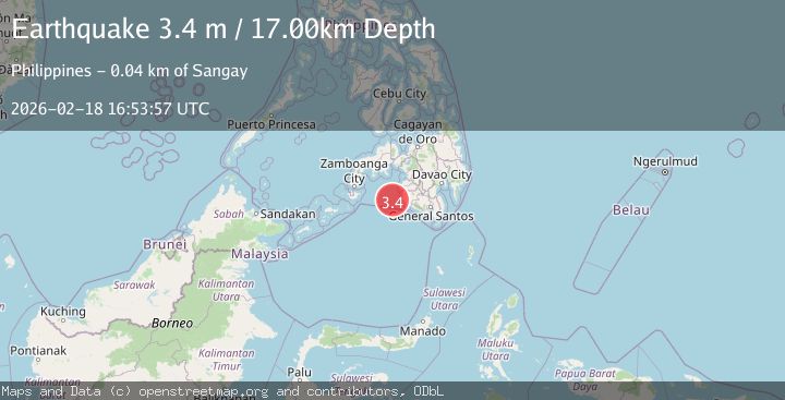
Earthquake MORO GULF, MINDANAO, PHILIPPINES
Wed, 18 Feb 2026 16:53:57 GMT
Time4 days ago
Location
6.3800, 123.6500
Depth
17.0 KM
Event Summary
A 3.4 magnitude earthquake struck on MORO GULF, MINDANAO, PHILIPPINES, at Wed, 18 Feb 2026 16:53:57 GMT. Depth: 17km. Reviewed by PIVS seismologists, this minor quake occurred at a magnitude type of m.
Magnitude
3.4
m
Source
PIVS
Intensity
-
Agency Reports
1 Sources| Source | Magnitude | Depth | Time |
|---|---|---|---|
| PIVSPrimary | 3.4 | 17 km | 4 days ago |
Earthquake Details
AutomaticEvent IDemsc_PIVS_20260218_0000268
Tsunami PotentialNo
Magnitude Typem
Nearest Places
- 40.5 km
- 42.1 km
- 42.9 km
- 42.9 km
- 43.0 km
Comments
Join the discussion about this event.
Latest Earthquakes
1.6Mag
Tarapaca, Chile
Time2 minutes ago
Depth0.00 km
SourceVYT (Automatic)
2.7Mag
Fox Islands, Aleutian Islands, Alaska
Time4 minutes ago
Depth17.09 km
SourceVYT (Automatic)
2.0Mag
Tarapaca, Chile
Time5 minutes ago
Depth117.07 km
SourceVYT (Automatic)
2.8Mag
Fox Islands, Aleutian Islands, Alaska
Time9 minutes ago
Depth8.54 km
SourceVYT (Automatic)
1.1Mag
2 km NW of The Geysers, CA
Time10 minutes ago
Depth1.50 km
SourceUSGS (Automatic)
Nearby Earthquakes
3.3Mag
MORO GULF, MINDANAO, PHILIPPINES
Time1 month ago
Depth4.00 km
SourcePIVS (Automatic)
3.3Mag
MORO GULF, MINDANAO, PHILIPPINES
Time1 month ago
Depth13.00 km
SourcePIVS (Automatic)
6.1Mag
Mindanao, Philippines
Time3 weeks ago
Depth10.00 km
SourceBMKG (Automatic)
5.3Mag
MORO GULF, MINDANAO, PHILIPPINES
Time3 weeks ago
Depth10.00 km
SourceNEIC (Automatic)
3.4Mag
MORO GULF, MINDANAO, PHILIPPINES
Time1 month ago
Depth23.00 km
SourcePIVS (Automatic)