Earthquake VIRGIN ISLANDS REGION
Wed, 04 Feb 2026 11:41:50 GMT
Time3 hours ago
Location
19.2603, -64.7617
Depth
20.7 KM
Event Summary
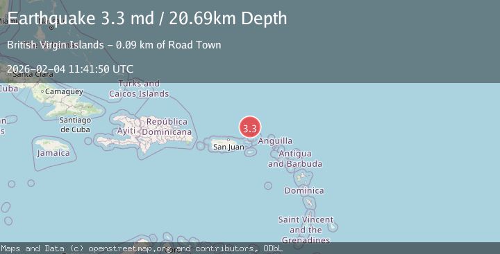
A 3.3 magnitude earthquake struck on VIRGIN ISLANDS REGION, at Wed, 04 Feb 2026 11:41:50 GMT. Depth: 20.7km. Reviewed by PR seismologists, this minor quake occurred at a magnitude type of md.
Magnitude
3.3
md
Source
PR
Intensity
-
Agency Reports
1 Sources| Source | Magnitude | Depth | Time |
|---|---|---|---|
| PRPrimary | 3.3 | 21 km | 3 hours ago |
Earthquake Details
AutomaticEvent IDemsc_PR_20260204_0000170
Tsunami PotentialNo
Magnitude Typemd
Nearest Places
- Anegada Canyon17.3 km
- Whale Banks62.6 km
- Walkover Set Point68.1 km
- West End Point68.2 km
- West End68.3 km
Comments
Join the discussion about this event.
Latest Earthquakes
2.0Mag
6 km SE of Sunol, CA
Time2 hours ago
Depth9.29 km
SourceUSGS (Automatic)
2.1Mag
West Papua Region, Indonesia
Time3 hours ago
Depth15.25 km
SourceBMKG (Automatic)
2.9Mag
SALTA, ARGENTINA
Time3 hours ago
Depth206.00 km
SourceNSNA (Automatic)
4.2Mag
GULF OF CALIFORNIA
Time3 hours ago
Depth8.10 km
SourceUNM (Automatic)
1.7Mag
CENTRAL TURKEY
Time3 hours ago
Depth10.60 km
SourceEMSC (Automatic)
Nearby Earthquakes
3.7Mag
95 km N of Charlotte Amalie, U.S. Virgin Islands
Time2 weeks ago
Depth61.00 km
SourceUSGS
3.1Mag
VIRGIN ISLANDS REGION
Time1 week ago
Depth43.00 km
SourcePR (Automatic)
3.3Mag
VIRGIN ISLANDS REGION
Time1 week ago
Depth28.60 km
SourcePR (Automatic)
3.7Mag
VIRGIN ISLANDS REGION
Time1 week ago
Depth35.00 km
SourceNEIC (Automatic)
3.4Mag
VIRGIN ISLANDS REGION
Time4 days ago
Depth16.20 km
SourcePR (Automatic)