Earthquake MAYOTTE REGION
Mon, 02 Feb 2026 02:07:24 GMT
Time1 day ago
Location
-12.8010, 45.5935
Depth
44.3 KM
Event Summary
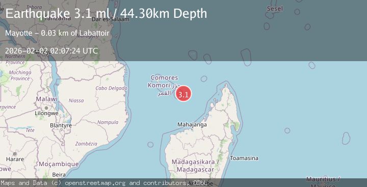
A 3.1 magnitude earthquake struck on MAYOTTE REGION, at Mon, 02 Feb 2026 02:07:24 GMT. Depth: 44.3km. Reviewed by ReNaSS seismologists, this minor quake occurred at a magnitude type of ml.
Magnitude
3.1
ml
Source
ReNaSS
Intensity
-
Agency Reports
1 Sources| Source | Magnitude | Depth | Time |
|---|---|---|---|
| ReNaSSPrimary | 3.1 | 44 km | 1 day ago |
Earthquake Details
AutomaticEvent IDemsc_ReNaSS_20260202_0000030
Tsunami PotentialNo
Magnitude Typeml
Nearest Places
- Lac Zeánn32.0 km
- Plages et Maars de Moya32.1 km
- Mtsanga Papani32.6 km
- Récif Pamandzi32.6 km
- La Vigie32.9 km
Comments
Join the discussion about this event.
Latest Earthquakes
2.6Mag
West Papua Region, Indonesia
Time3 minutes ago
Depth33.31 km
SourceBMKG (Automatic)
4.4Mag
SOUTHERN PERU
Time26 minutes ago
Depth196.00 km
SourceLIM (Automatic)
2.0Mag
POLAND
Time31 minutes ago
Depth10.00 km
SourceIGPAS (Automatic)
3.0Mag
South of Java, Indonesia
Time43 minutes ago
Depth5.00 km
SourceBMKG (Automatic)
3.4Mag
OFFSHORE EL SALVADOR
Time44 minutes ago
Depth35.00 km
SourceINET (Automatic)
Nearby Earthquakes
3.1Mag
MAYOTTE REGION
Time2 days ago
Depth42.10 km
SourceReNaSS (Automatic)
3.3Mag
MAYOTTE REGION
Time1 week ago
Depth40.80 km
SourceReNaSS (Automatic)
3.5Mag
MAYOTTE REGION
Time1 week ago
Depth36.90 km
SourceReNaSS (Automatic)
4.9Mag
MADAGASCAR
Time1 week ago
Depth10.00 km
SourceGFZ (Automatic)
5.4Mag
49 km SSE of Mbumi, Tanzania
Time1 week ago
Depth10.00 km
SourceUSGS