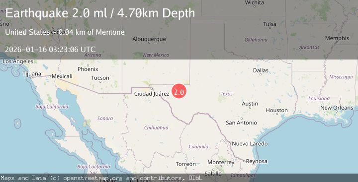
Earthquake WESTERN TEXAS
Fri, 16 Jan 2026 03:23:06 GMT
Time1 month ago
Location
31.5230, -104.0130
Depth
4.7 KM
Event Summary
A 2.0 magnitude earthquake struck on WESTERN TEXAS, at Fri, 16 Jan 2026 03:23:06 GMT. Depth: 4.7km. Reviewed by TX seismologists, this minor quake occurred at a magnitude type of ml.
Magnitude
2.0
ml
Source
TX
Intensity
-
Agency Reports
1 Sources| Source | Magnitude | Depth | Time |
|---|---|---|---|
| TXPrimary | 2.0 | 5 km | 1 month ago |
Earthquake Details
AutomaticEvent IDemsc_TX_20260116_0000044
Tsunami PotentialNo
Magnitude Typeml
Nearest Places
- Juan Windmill2.4 km
- Dry Lake4.3 km
- Lynn Tank5.9 km
- Dutch Draw6.0 km
- Oil Well Windmill7.1 km
Comments
Join the discussion about this event.
Latest Earthquakes
3.1Mag
Caribbean Sea
Time13 minutes ago
Depth226.81 km
SourceVYT (Automatic)
3.4Mag
West Papua Region, Indonesia
Time21 minutes ago
Depth54.58 km
SourceBMKG
3.8Mag
near the north coast of Colombia
Time25 minutes ago
Depth0.00 km
SourceVYT (Automatic)
2.6Mag
Minahasa, Sulawesi, Indonesia
Time27 minutes ago
Depth0.00 km
SourceVYT (Automatic)
2.5Mag
TARAPACA, CHILE
Time37 minutes ago
Depth51.40 km
SourceCSN (Automatic)
Nearby Earthquakes
1.4Mag
31 km NW of Toyah, Texas
Time4 hours ago
Depth4.21 km
SourceUSGS (Automatic)
1.8Mag
31 km NW of Toyah, Texas
Time0 months ago
Depth3.43 km
SourceUSGS (Automatic)
2.8Mag
WESTERN TEXAS
Time1 month ago
Depth7.60 km
SourceTX (Automatic)
2.7Mag
WESTERN TEXAS
Time1 month ago
Depth7.60 km
SourceTX (Automatic)
1.6Mag
31 km NW of Toyah, Texas
Time2 weeks ago
Depth4.47 km
SourceUSGS (Automatic)