Earthquake 34 km N of Karluk, Alaska
Fri, 26 Dec 2025 21:06:46 GMT
Time2 hours ago
Location
57.8740, -154.3670
Depth
58.4 KM
Event Summary
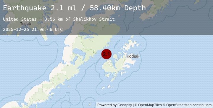
A 2.1 magnitude earthquake struck on 34 km N of Karluk, Alaska, at Fri, 26 Dec 2025 21:06:46 GMT. Depth: 58.4km. Reviewed by USGS seismologists, this minor quake occurred at a magnitude type of ml.
Magnitude
2.1
ml
Source
USGS
Intensity
-
Earthquake Details
AutomaticEvent IDusgs_ak2025zkprpb
Tsunami PotentialNo
Magnitude Typeml
Nearest Places
- Shelikhov Strait3.5 km
- Uyak Bay19.6 km
- Cape Ilktugitak20.7 km
- Takli Island22.1 km
- Amalik Bay Archeological District22.1 km
Comments
Join the discussion about this event.
Latest Earthquakes
2.5Mag
Timor Region
Time2 hours ago
Depth35.10 km
SourceBMKG (Automatic)
2.5Mag
TIMOR REGION, INDONESIA
Time2 hours ago
Depth35.00 km
SourceEMSC (Automatic)
1.8Mag
7 km NW of The Geysers, CA
Time2 hours ago
Depth1.26 km
SourceUSGS (Automatic)
4.0Mag
Timor Region
Time2 hours ago
Depth10.00 km
SourceBMKG (Automatic)
4.0Mag
TIMOR REGION
Time2 hours ago
Depth10.00 km
SourceEMSC (Automatic)
Nearby Earthquakes
0.6Mag
86 km NNW of Karluk, Alaska
Time3 hours ago
Depth5.00 km
SourceUSGS (Automatic)
1.3Mag
92 km N of Karluk, Alaska
Time4 hours ago
Depth5.00 km
SourceUSGS (Automatic)
1.2Mag
84 km NNW of Karluk, Alaska
Time7 hours ago
Depth5.00 km
SourceUSGS (Automatic)
0.9Mag
83 km NNW of Karluk, Alaska
Time7 hours ago
Depth5.00 km
SourceUSGS (Automatic)
0.7Mag
85 km NNW of Karluk, Alaska
Time10 hours ago
Depth5.00 km
SourceUSGS (Automatic)