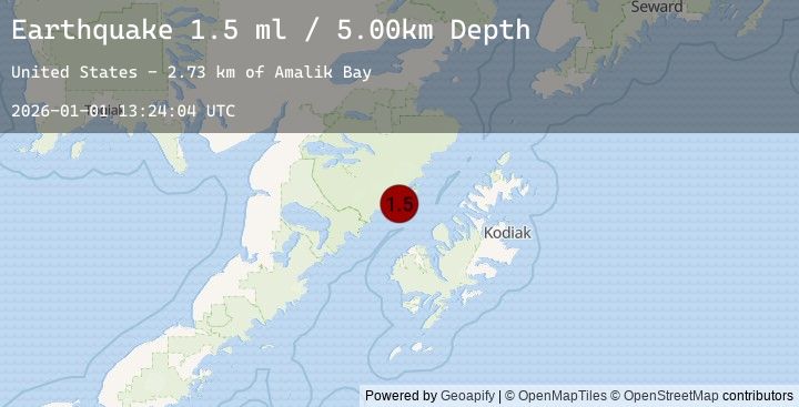
Earthquake 58 km N of Karluk, Alaska
Thu, 01 Jan 2026 13:24:04 GMT
Time2 hours ago
Location
58.0930, -154.5390
Depth
5.0 KM
Event Summary
A 1.5 magnitude earthquake struck on 58 km N of Karluk, Alaska, at Thu, 01 Jan 2026 13:24:04 GMT. Depth: 5km. Reviewed by USGS seismologists, this minor quake occurred at a magnitude type of ml.
Magnitude
1.5
ml
Source
USGS
Intensity
-
Earthquake Details
AutomaticEvent IDusgs_ak2026abaqwy
Tsunami PotentialNo
Magnitude Typeml
Nearest Places
- Amalik Bay2.7 km
- Geographic Harbor3.5 km
- Amalik Bay Archeological District4.4 km
- Takli Island4.5 km
- Kinak Bay7.3 km
Comments
Join the discussion about this event.
Latest Earthquakes
3.8Mag
PANAMA-COSTA RICA BORDER REGION
Time8 minutes ago
Depth12.00 km
SourceEMSC (Automatic)
2.3Mag
10 km W of Susitna North, Alaska
Time10 minutes ago
Depth0.30 km
SourceUSGS (Automatic)
0.7Mag
23 km ESE of Ridgecrest, CA
Time21 minutes ago
Depth0.79 km
SourceUSGS (Automatic)
2.2Mag
30 km NNE of Karluk, Alaska
Time28 minutes ago
Depth56.60 km
SourceUSGS (Automatic)
1.8Mag
7 km NNW of Big Bear Lake, CA
Time31 minutes ago
Depth1.09 km
SourceUSGS (Automatic)
Nearby Earthquakes
2.2Mag
30 km NNE of Karluk, Alaska
Time28 minutes ago
Depth56.60 km
SourceUSGS (Automatic)
2.5Mag
48 km W of Karluk, Alaska
Time1 hour ago
Depth68.20 km
SourceUSGS (Automatic)
2.4Mag
50 km W of Karluk, Alaska
Time1 hour ago
Depth70.60 km
SourceUSGS (Automatic)
2.0Mag
68 km WNW of Karluk, Alaska
Time2 hours ago
Depth84.90 km
SourceUSGS (Automatic)
1.4Mag
80 km N of Karluk, Alaska
Time5 hours ago
Depth5.00 km
SourceUSGS (Automatic)