Earthquake 32 km WNW of Skwentna, Alaska
Fri, 02 Jan 2026 01:06:48 GMT
Time18 hours ago
Location
62.0850, -151.9870
Depth
98.6 KM
Event Summary
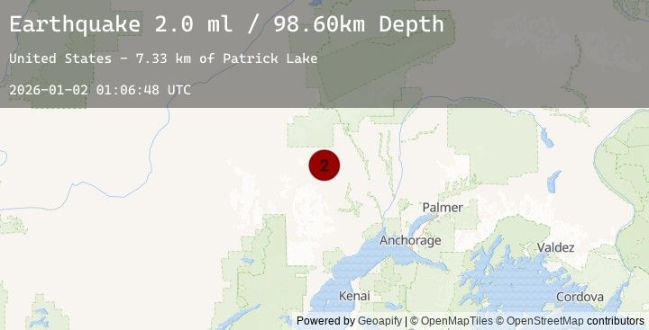
A 2.0 magnitude earthquake struck on 32 km WNW of Skwentna, Alaska, at Fri, 02 Jan 2026 01:06:48 GMT. Depth: 98.6km. Reviewed by USGS seismologists, this minor quake occurred at a magnitude type of ml.
Magnitude
2.0
ml
Source
USGS
Intensity
-
Agency Reports
1 Sources| Source | Magnitude | Depth | Time |
|---|---|---|---|
| USGSPrimary | 2.0 | 99 km | 18 hours ago |
Earthquake Details
AutomaticEvent IDusgs_ak2026abxyll
Tsunami PotentialNo
Magnitude Typeml
Nearest Places
- Patrick Lake7.3 km
- Nin Ridge10.1 km
- Tranquility Lake11.1 km
- Winter Lake Lodge11.8 km
- Finger Lake12.2 km
Comments
Join the discussion about this event.
Latest Earthquakes
3.4Mag
GREECE
Time17 hours ago
Depth5.00 km
SourceTHE (Automatic)
1.9Mag
1 km W of Pāhala, Hawaii
Time17 hours ago
Depth33.72 km
SourceUSGS (Automatic)
3.1Mag
West Papua, Indonesia
Time18 hours ago
Depth16.31 km
SourceBMKG (Automatic)
1.6Mag
WESTERN TURKEY
Time18 hours ago
Depth13.40 km
SourceEMSC (Automatic)
3.3Mag
JUJUY, ARGENTINA
Time18 hours ago
Depth162.00 km
SourceNSNA (Automatic)