Earthquake 45 km S of Port Graham, Alaska
Fri, 02 Jan 2026 19:53:46 GMT
Time2 hours ago
Location
58.9430, -151.7570
Depth
64.6 KM
Event Summary
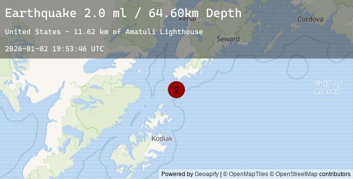
A 2.0 magnitude earthquake struck on 45 km S of Port Graham, Alaska, at Fri, 02 Jan 2026 19:53:46 GMT. Depth: 64.6km. Reviewed by USGS seismologists, this minor quake occurred at a magnitude type of ml.
Magnitude
2.0
ml
Source
USGS
Intensity
-
Agency Reports
1 Sources| Source | Magnitude | Depth | Time |
|---|---|---|---|
| USGSPrimary | 2.0 | 65 km | 2 hours ago |
Earthquake Details
AutomaticEvent IDusgs_ak2026adjhpp
Tsunami PotentialNo
Magnitude Typeml
Nearest Places
- Amatuli Lighthouse11.6 km
- Puffin Peak12.8 km
- East Amatuli Island13.7 km
- Amatuli Cove14.6 km
- Amatuli Islands15.6 km
Comments
Join the discussion about this event.
Latest Earthquakes
3.0Mag
SOUTHEASTERN ALASKA
Time1 hour ago
Depth0.30 km
SourceAK (Automatic)
2.8Mag
Southern Sumatra, Indonesia
Time1 hour ago
Depth26.20 km
SourceBMKG (Automatic)
2.9Mag
South of Sumbawa, Indonesia
Time2 hours ago
Depth10.00 km
SourceBMKG (Automatic)
4.2Mag
66 km E of Nikolski, Alaska
Time2 hours ago
Depth16.80 km
SourceUSGS
2.2Mag
Minahassa Peninsula, Sulawesi
Time2 hours ago
Depth10.00 km
SourceBMKG (Automatic)
Nearby Earthquakes
No significant earthquakes nearby recently.