Earthquake 18 km WSW of Ester, Alaska
Sat, 03 Jan 2026 00:23:20 GMT
Time4 hours ago
Location
64.7890, -148.3790
Depth
5.0 KM
Event Summary
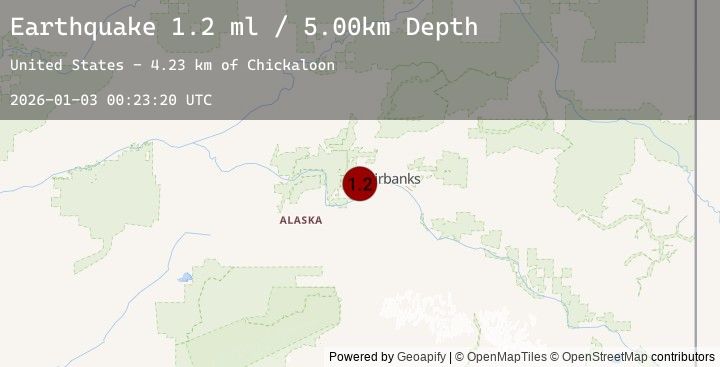
A 1.2 magnitude earthquake struck on 18 km WSW of Ester, Alaska, at Sat, 03 Jan 2026 00:23:20 GMT. Depth: 5km. Reviewed by USGS seismologists, this minor quake occurred at a magnitude type of ml.
Magnitude
1.2
ml
Source
USGS
Intensity
-
Agency Reports
1 Sources| Source | Magnitude | Depth | Time |
|---|---|---|---|
| USGSPrimary | 1.2 | 5 km | 4 hours ago |
Earthquake Details
AutomaticEvent IDusgs_ak2026adsfwl
Tsunami PotentialNo
Magnitude Typeml
Nearest Places
- Chickaloon4.2 km
- Ohio Creek5.0 km
- Muskeg5.2 km
- Pedro (historical)5.4 km
- Bonanza Creek Experimental Forest6.0 km
Comments
Join the discussion about this event.
Latest Earthquakes
2.7Mag
Borneo
Time5 minutes ago
Depth3.82 km
SourceBMKG (Automatic)
1.8Mag
7 km W of Beluga, Alaska
Time8 minutes ago
Depth68.10 km
SourceUSGS (Automatic)
2.3Mag
Sulawesi, Indonesia
Time13 minutes ago
Depth18.90 km
SourceBMKG (Automatic)
1.0Mag
17 km WSW of Ester, Alaska
Time19 minutes ago
Depth5.00 km
SourceUSGS (Automatic)
3.7Mag
Halmahera, Indonesia
Time31 minutes ago
Depth22.88 km
SourceBMKG (Automatic)
Nearby Earthquakes
1.0Mag
17 km WSW of Ester, Alaska
Time19 minutes ago
Depth5.00 km
SourceUSGS (Automatic)
0.8Mag
17 km WSW of Ester, Alaska
Time2 hours ago
Depth3.20 km
SourceUSGS (Automatic)
0.9Mag
32 km E of Minto, Alaska
Time9 hours ago
Depth8.30 km
SourceUSGS (Automatic)
1.0Mag
33 km SE of Minto, Alaska
Time10 hours ago
Depth0.20 km
SourceUSGS (Automatic)
1.5Mag
9 km NNE of Harding-Birch Lakes, Alaska
Time16 hours ago
Depth10.80 km
SourceUSGS (Automatic)