Earthquake 17 km WSW of Ester, Alaska
Sat, 03 Jan 2026 04:05:19 GMT
Time2 hours ago
Location
64.7970, -148.3730
Depth
5.0 KM
Event Summary
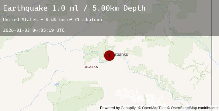
A 1.0 magnitude earthquake struck on 17 km WSW of Ester, Alaska, at Sat, 03 Jan 2026 04:05:19 GMT. Depth: 5km. Reviewed by USGS seismologists, this minor quake occurred at a magnitude type of ml.
Magnitude
1.0
ml
Source
USGS
Intensity
-
Agency Reports
1 Sources| Source | Magnitude | Depth | Time |
|---|---|---|---|
| USGSPrimary | 1.0 | 5 km | 2 hours ago |
Earthquake Details
AutomaticEvent IDusgs_ak2026adzpei
Tsunami PotentialNo
Magnitude Typeml
Nearest Places
- Chickaloon4.4 km
- Pedro (historical)4.5 km
- Muskeg4.9 km
- Ohio Creek5.4 km
- Cache Creek5.9 km
Comments
Join the discussion about this event.
Latest Earthquakes
1.1Mag
1 km NNW of Loma Linda, CA
Time5 minutes ago
Depth16.79 km
SourceUSGS (Automatic)
2.8Mag
SAN JUAN URBAN AREA, PUERTO RICO
Time30 minutes ago
Depth100.90 km
SourcePR (Automatic)
4.7Mag
TONGA
Time37 minutes ago
Depth190.00 km
SourceNEIC (Automatic)
4.7Mag
TONGA
Time39 minutes ago
Depth281.00 km
SourceNEIC (Automatic)
1.8Mag
15 km WNW of Volcano, Hawaii
Time45 minutes ago
Depth10.98 km
SourceUSGS (Automatic)
Nearby Earthquakes
0.8Mag
17 km WSW of Ester, Alaska
Time5 hours ago
Depth3.20 km
SourceUSGS (Automatic)
1.2Mag
18 km WSW of Ester, Alaska
Time6 hours ago
Depth5.00 km
SourceUSGS (Automatic)
0.9Mag
32 km E of Minto, Alaska
Time11 hours ago
Depth8.30 km
SourceUSGS (Automatic)
1.0Mag
33 km SE of Minto, Alaska
Time12 hours ago
Depth0.20 km
SourceUSGS (Automatic)
1.5Mag
9 km NNE of Harding-Birch Lakes, Alaska
Time18 hours ago
Depth10.80 km
SourceUSGS (Automatic)