Earthquake 91 km WNW of Yakutat, Alaska
Mon, 05 Jan 2026 06:49:55 GMT
Time2 days ago
Location
59.7640, -141.2900
Depth
5.3 KM
Event Summary
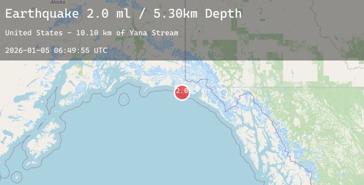
A 2.0 magnitude earthquake struck on 91 km WNW of Yakutat, Alaska, at Mon, 05 Jan 2026 06:49:55 GMT. Depth: 5.3km. Reviewed by USGS seismologists, this minor quake occurred at a magnitude type of ml.
Magnitude
2.0
ml
Source
USGS
Intensity
-
Agency Reports
1 Sources| Source | Magnitude | Depth | Time |
|---|---|---|---|
| USGSPrimary | 2.0 | 5 km | 2 days ago |
Earthquake Details
AutomaticEvent IDusgs_ak2026ahwmty
Tsunami PotentialNo
Magnitude Typeml
Nearest Places
- Yana Stream10.1 km
- Yahtse River12.5 km
- Sacred Lake14.4 km
- Point Riou16.0 km
- Riou Bay17.7 km
Comments
Join the discussion about this event.
Latest Earthquakes
1.3Mag
4 km NW of The Geysers, CA
Time2 days ago
Depth1.13 km
SourceUSGS (Automatic)
2.7Mag
SAN JUAN, ARGENTINA
Time2 days ago
Depth91.00 km
SourceNSNA (Automatic)
3.4Mag
Northern Sumatra, Indonesia
Time2 days ago
Depth88.61 km
SourceBMKG (Automatic)
2.3Mag
WESTERN TURKEY
Time2 days ago
Depth9.20 km
SourceKOERI (Automatic)
2.3Mag
Java, Indonesia
Time2 days ago
Depth32.84 km
SourceBMKG (Automatic)
Nearby Earthquakes
No significant earthquakes nearby recently.