Earthquake 6 km SSE of Point MacKenzie, Alaska
Tue, 06 Jan 2026 00:46:41 GMT
Time2 days ago
Location
61.3060, -149.9260
Depth
38.3 KM
Event Summary
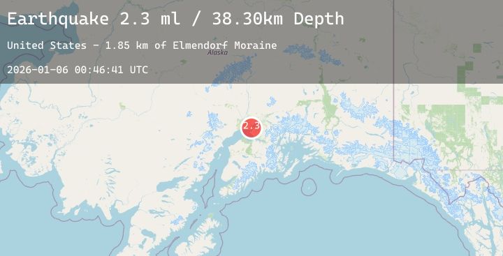
A 2.3 magnitude earthquake struck on 6 km SSE of Point MacKenzie, Alaska, at Tue, 06 Jan 2026 00:46:41 GMT. Depth: 38.3km. Reviewed by USGS seismologists, this minor quake occurred at a magnitude type of ml.
Magnitude
2.3
ml
Source
USGS
Intensity
-
Agency Reports
1 Sources| Source | Magnitude | Depth | Time |
|---|---|---|---|
| USGSPrimary | 2.3 | 38 km | 2 days ago |
Earthquake Details
AutomaticEvent IDusgs_ak2026ajgeqj
Tsunami PotentialNo
Magnitude Typeml
Nearest Places
- Elmendorf Moraine1.8 km
- Lake Lorraine2.0 km
- Mule Creek2.2 km
- Alder Pond4.2 km
- Port MacKenzie4.3 km
Comments
Join the discussion about this event.
Latest Earthquakes
3.7Mag
Northern Molucca Sea
Time2 days ago
Depth17.40 km
SourceBMKG (Automatic)
2.2Mag
Java, Indonesia
Time2 days ago
Depth30.49 km
SourceBMKG (Automatic)
2.0Mag
9 km ENE of Pāhala, Hawaii
Time2 days ago
Depth32.19 km
SourceUSGS (Automatic)
3.1Mag
MINDANAO, PHILIPPINES
Time2 days ago
Depth29.00 km
SourcePIVS (Automatic)
3.4Mag
Minahassa Peninsula, Sulawesi
Time2 days ago
Depth6.06 km
SourceBMKG (Automatic)
Nearby Earthquakes
2.3Mag
19 km ESE of Skwentna, Alaska
Time3 days ago
Depth68.70 km
SourceUSGS (Automatic)
2.4Mag
14 km SSE of Susitna North, Alaska
Time3 days ago
Depth34.10 km
SourceUSGS (Automatic)
1.7Mag
6 km NNW of Meadow Lakes, Alaska
Time3 days ago
Depth34.50 km
SourceUSGS (Automatic)
2.3Mag
17 km NNE of Nikiski, Alaska
Time3 days ago
Depth57.20 km
SourceUSGS (Automatic)
2.0Mag
5 km W of Beluga, Alaska
Time3 days ago
Depth67.10 km
SourceUSGS (Automatic)