Earthquake 87 km SE of McCarthy, Alaska
Tue, 06 Jan 2026 01:00:48 GMT
Time3 days ago
Location
60.7880, -142.0110
Depth
30.0 KM
Event Summary
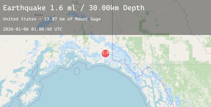
A 1.6 magnitude earthquake struck on 87 km SE of McCarthy, Alaska, at Tue, 06 Jan 2026 01:00:48 GMT. Depth: 30km. Reviewed by USGS seismologists, this minor quake occurred at a magnitude type of ml.
Magnitude
1.6
ml
Source
USGS
Intensity
-
Agency Reports
1 Sources| Source | Magnitude | Depth | Time |
|---|---|---|---|
| USGSPrimary | 1.6 | 30 km | 3 days ago |
Earthquake Details
AutomaticEvent IDusgs_ak2026ajgqqr
Tsunami PotentialNo
Magnitude Typeml
Nearest Places
- Mount Gage13.9 km
- Granite Range19.9 km
- Jefferies Glacier20.8 km
- Tana Glacier21.2 km
- Thompson Ridge22.6 km
Comments
Join the discussion about this event.
Latest Earthquakes
2.3Mag
17 km W of Anchorage, Alaska
Time3 days ago
Depth39.20 km
SourceUSGS (Automatic)
3.0Mag
Flores Region, Indonesia
Time3 days ago
Depth158.98 km
SourceBMKG (Automatic)
1.5Mag
EASTERN TURKEY
Time3 days ago
Depth7.00 km
SourceAFAD (Automatic)
1.1Mag
EASTERN TURKEY
Time3 days ago
Depth7.50 km
SourceAFAD (Automatic)
4.5Mag
SOUTHERN ALASKA
Time3 days ago
Depth195.60 km
SourceNEIC (Automatic)
Nearby Earthquakes
2.3Mag
103 km NW of Yakutat, Alaska
Time3 days ago
Depth5.00 km
SourceUSGS (Automatic)
1.9Mag
115 km SE of McCarthy, Alaska
Time3 days ago
Depth12.90 km
SourceUSGS (Automatic)
1.9Mag
112 km NW of Yakutat, Alaska
Time4 days ago
Depth0.90 km
SourceUSGS (Automatic)
1.3Mag
113 km NW of Yakutat, Alaska
Time4 days ago
Depth10.70 km
SourceUSGS (Automatic)