Earthquake 38 km WSW of Nanwalek, Alaska
Tue, 06 Jan 2026 06:17:42 GMT
Time1 day ago
Location
59.1820, -152.5020
Depth
63.6 KM
Event Summary
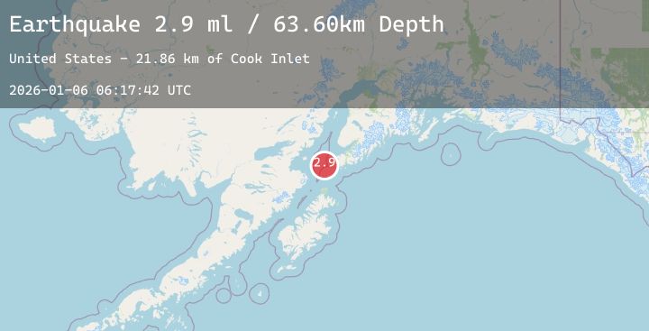
A 2.9 magnitude earthquake struck on 38 km WSW of Nanwalek, Alaska, at Tue, 06 Jan 2026 06:17:42 GMT. Depth: 63.6km. Reviewed by USGS seismologists, this minor quake occurred at a magnitude type of ml.
Magnitude
2.9
ml
Source
USGS
Intensity
-
Agency Reports
1 Sources| Source | Magnitude | Depth | Time |
|---|---|---|---|
| USGSPrimary | 2.9 | 64 km | 1 day ago |
Earthquake Details
AutomaticEvent IDusgs_ak2026ajrdws
Tsunami PotentialNo
Magnitude Typeml
Nearest Places
- Cook Inlet21.8 km
- Northwest Point26.6 km
- Nord Island31.0 km
- Point Adam31.1 km
- Magnet Rock31.6 km
Comments
Join the discussion about this event.
Latest Earthquakes
2.0Mag
69 km W of Tyonek, Alaska
Time1 day ago
Depth140.60 km
SourceUSGS (Automatic)
0.9Mag
SLOVENIA
Time1 day ago
Depth0.00 km
SourceOGS (Automatic)
3.2Mag
OFF COAST OF CENTRAL AMERICA
Time1 day ago
Depth7.00 km
SourceINET (Automatic)
3.0Mag
74 km N of San Juan, Puerto Rico
Time1 day ago
Depth25.67 km
SourceUSGS
1.2Mag
WESTERN TURKEY
Time1 day ago
Depth7.00 km
SourceAFAD (Automatic)