Earthquake 40 km NW of Mentasta Lake, Alaska
Wed, 07 Jan 2026 01:21:50 GMT
Time1 day ago
Location
63.1380, -144.4120
Depth
3.1 KM
Event Summary
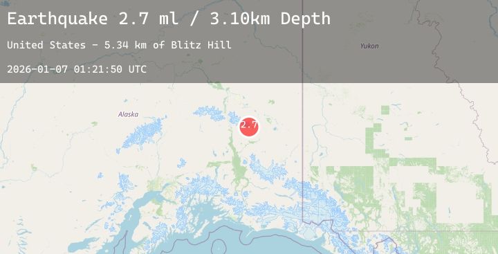
A 2.7 magnitude earthquake struck on 40 km NW of Mentasta Lake, Alaska, at Wed, 07 Jan 2026 01:21:50 GMT. Depth: 3.1km. Reviewed by USGS seismologists, this minor quake occurred at a magnitude type of ml.
Magnitude
2.7
ml
Source
USGS
Intensity
-
Agency Reports
1 Sources| Source | Magnitude | Depth | Time |
|---|---|---|---|
| USGSPrimary | 2.7 | 3 km | 1 day ago |
Earthquake Details
AutomaticEvent IDusgs_ak2026aldbtr
Tsunami PotentialNo
Magnitude Typeml
Nearest Places
- Blitz Hill5.3 km
- Tok Glacier10.3 km
- Bedrock Creek10.8 km
- Gillett Pass11.1 km
- Sawmill11.2 km
Comments
Join the discussion about this event.
Latest Earthquakes
2.2Mag
Northern Sumatra, Indonesia
Time1 day ago
Depth5.00 km
SourceBMKG (Automatic)
1.3Mag
11 km ENE of Fox, Alaska
Time1 day ago
Depth3.40 km
SourceUSGS (Automatic)
3.0Mag
BATAN ISL REGION, PHILIPPINES
Time1 day ago
Depth24.00 km
SourcePIVS (Automatic)
2.9Mag
OFFSHORE EL SALVADOR
Time1 day ago
Depth16.00 km
SourceINET (Automatic)
2.7Mag
Near North Coast of West Papua
Time1 day ago
Depth35.22 km
SourceBMKG (Automatic)
Nearby Earthquakes
No significant earthquakes nearby recently.