Earthquake 3 km WNW of Tanaina, Alaska
Wed, 07 Jan 2026 09:23:28 GMT
Time2 days ago
Location
61.6390, -149.4910
Depth
33.7 KM
Event Summary
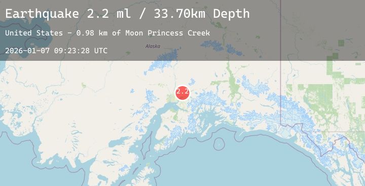
A 2.2 magnitude earthquake struck on 3 km WNW of Tanaina, Alaska, at Wed, 07 Jan 2026 09:23:28 GMT. Depth: 33.7km. Reviewed by USGS seismologists, this minor quake occurred at a magnitude type of ml.
Magnitude
2.2
ml
Source
USGS
Intensity
-
Agency Reports
1 Sources| Source | Magnitude | Depth | Time |
|---|---|---|---|
| USGSPrimary | 2.2 | 34 km | 2 days ago |
Earthquake Details
AutomaticEvent IDusgs_ak2026altavl
Tsunami PotentialNo
Magnitude Typeml
Nearest Places
- Moon Princess Creek1.0 km
- Chignaki Pond1.3 km
- Chignaki Pond1.3 km
- Meadow Lakes Volunteer Fire Department 7 - 21.6 km
- Coal Creek2.1 km
Comments
Join the discussion about this event.
Latest Earthquakes
1.6Mag
33 km WSW of Ackerly, Texas
Time2 days ago
Depth4.52 km
SourceUSGS (Automatic)
2.2Mag
FRANCE
Time2 days ago
Depth5.00 km
SourceReNaSS (Automatic)
3.0Mag
ATACAMA, CHILE
Time2 days ago
Depth20.00 km
SourceCSN (Automatic)
1.7Mag
3 km SW of Hidden Valley Lake, CA
Time2 days ago
Depth9.67 km
SourceUSGS (Automatic)
3.7Mag
JUJUY, ARGENTINA
Time2 days ago
Depth292.00 km
SourceNSNA (Automatic)
Nearby Earthquakes
1.7Mag
20 km NNE of Fishhook, Alaska
Time2 days ago
Depth20.10 km
SourceUSGS (Automatic)
2.1Mag
5 km S of Willow, Alaska
Time3 days ago
Depth22.90 km
SourceUSGS (Automatic)
1.7Mag
30 km NE of Girdwood, Alaska
Time3 days ago
Depth20.90 km
SourceUSGS (Automatic)
2.9Mag
CENTRAL ALASKA
Time3 days ago
Depth20.90 km
SourceAK (Automatic)