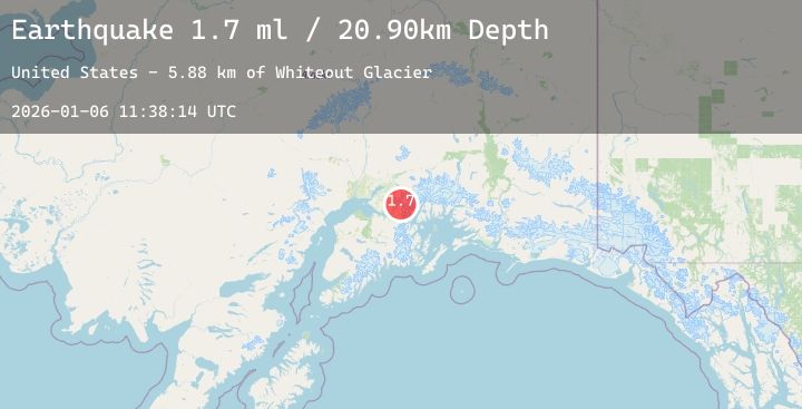
Earthquake 30 km NE of Girdwood, Alaska
Tue, 06 Jan 2026 11:38:14 GMT
Time1 day ago
Location
61.1320, -148.7590
Depth
20.9 KM
Event Summary
A 1.7 magnitude earthquake struck on 30 km NE of Girdwood, Alaska, at Tue, 06 Jan 2026 11:38:14 GMT. Depth: 20.9km. Reviewed by USGS seismologists, this minor quake occurred at a magnitude type of ml.
Magnitude
1.7
ml
Source
USGS
Intensity
-
Agency Reports
1 Sources| Source | Magnitude | Depth | Time |
|---|---|---|---|
| USGSPrimary | 1.7 | 21 km | 1 day ago |
Earthquake Details
AutomaticEvent IDusgs_ak2026akbucm
Tsunami PotentialNo
Magnitude Typeml
Nearest Places
- Whiteout Glacier5.9 km
- Lake George7.8 km
- Whiteout Peak7.8 km
- Glenn Lake8.8 km
- Lake George Glacier9.8 km
Comments
Join the discussion about this event.
Latest Earthquakes
2.7Mag
CROATIA
Time1 day ago
Depth4.30 km
SourceARSO (Automatic)
2.6Mag
West Papua, Indonesia
Time1 day ago
Depth112.96 km
SourceBMKG (Automatic)
3.3Mag
PUERTO RICO REGION
Time1 day ago
Depth29.80 km
SourcePR (Automatic)
2.9Mag
Halmahera, Indonesia
Time1 day ago
Depth4.55 km
SourceBMKG (Automatic)
2.2Mag
ISLAND OF HAWAII, HAWAII
Time1 day ago
Depth30.70 km
SourceHV (Automatic)
Nearby Earthquakes
2.3Mag
17 km W of Anchorage, Alaska
Time1 day ago
Depth39.20 km
SourceUSGS (Automatic)
2.1Mag
62 km S of Glacier View, Alaska
Time1 day ago
Depth16.90 km
SourceUSGS (Automatic)
2.3Mag
6 km SSE of Point MacKenzie, Alaska
Time2 days ago
Depth38.30 km
SourceUSGS (Automatic)
2.3Mag
53 km NW of Tatitlek, Alaska
Time2 days ago
Depth11.80 km
SourceUSGS (Automatic)