Earthquake 32 km SW of Glacier View, Alaska
Wed, 07 Jan 2026 15:34:54 GMT
Time2 days ago
Location
61.5710, -148.0210
Depth
38.4 KM
Event Summary
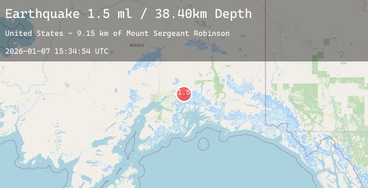
A 1.5 magnitude earthquake struck on 32 km SW of Glacier View, Alaska, at Wed, 07 Jan 2026 15:34:54 GMT. Depth: 38.4km. Reviewed by USGS seismologists, this minor quake occurred at a magnitude type of ml.
Magnitude
1.5
ml
Source
USGS
Intensity
-
Agency Reports
1 Sources| Source | Magnitude | Depth | Time |
|---|---|---|---|
| USGSPrimary | 1.5 | 38 km | 2 days ago |
Earthquake Details
AutomaticEvent IDusgs_ak2026amfixx
Tsunami PotentialNo
Magnitude Typeml
Nearest Places
- Mount Sergeant Robinson9.1 km
- Marcus Baker Glacier14.2 km
- Metal Creek Glacier18.3 km
- Marcus Baker Glacier19.4 km
- Cottonwood Creek19.6 km
Comments
Join the discussion about this event.
Latest Earthquakes
2.8Mag
Sulawesi, Indonesia
Time2 days ago
Depth5.00 km
SourceBMKG (Automatic)
2.9Mag
Talaud Islands, Indonesia
Time2 days ago
Depth45.41 km
SourceBMKG (Automatic)
0.7Mag
17 km NE of Pine Valley, CA
Time2 days ago
Depth5.09 km
SourceUSGS (Automatic)
3.3Mag
NEAR EAST COAST OF HONSHU, JAPAN
Time2 days ago
Depth60.00 km
SourceJMA (Automatic)
2.2Mag
63 km N of Petersville, Alaska
Time2 days ago
Depth110.50 km
SourceUSGS (Automatic)