Earthquake 56 km E of Egegik, Alaska
Thu, 08 Jan 2026 19:23:16 GMT
Time2 days ago
Location
58.1520, -156.4220
Depth
5.0 KM
Event Summary
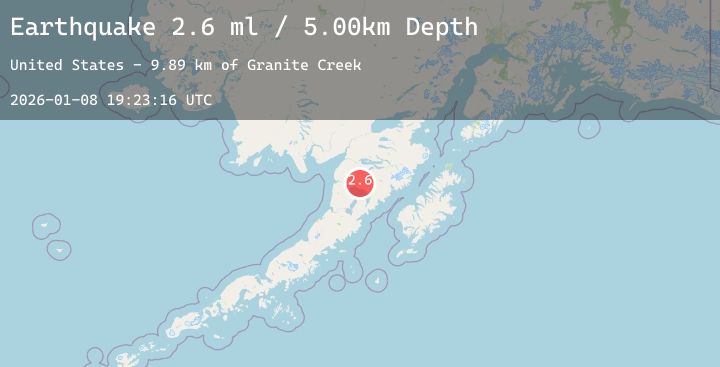
A 2.6 magnitude earthquake struck on 56 km E of Egegik, Alaska, at Thu, 08 Jan 2026 19:23:16 GMT. Depth: 5km. Reviewed by USGS seismologists, this minor quake occurred at a magnitude type of ml.
Magnitude
2.6
ml
Source
USGS
Intensity
-
Agency Reports
1 Sources| Source | Magnitude | Depth | Time |
|---|---|---|---|
| USGSPrimary | 2.6 | 5 km | 2 days ago |
Earthquake Details
AutomaticEvent IDusgs_ak2026aoiqpa
Tsunami PotentialNo
Magnitude Typeml
Nearest Places
- Granite Creek9.9 km
- Gertrude Creek12.6 km
- Whale Mountain12.9 km
- Becharof National Wildlife Refuge22.6 km
- Takayofo Creek24.4 km
Comments
Join the discussion about this event.
Latest Earthquakes
1.1Mag
2 km S of Borrego Springs, CA
Time2 days ago
Depth2.27 km
SourceUSGS (Automatic)
4.5Mag
South of Java, Indonesia
Time2 days ago
Depth10.00 km
SourceBMKG (Automatic)
3.3Mag
Southern Sumatra, Indonesia
Time2 days ago
Depth10.00 km
SourceBMKG (Automatic)
2.7Mag
West Papua Region, Indonesia
Time2 days ago
Depth93.16 km
SourceBMKG (Automatic)
1.3Mag
14 km NE of Ridgecrest, CA
Time2 days ago
Depth5.40 km
SourceUSGS (Automatic)