Earthquake 22 km NW of Petersville, Alaska
Fri, 09 Jan 2026 04:23:40 GMT
Time2 days ago
Location
62.6390, -151.0810
Depth
80.0 KM
Event Summary
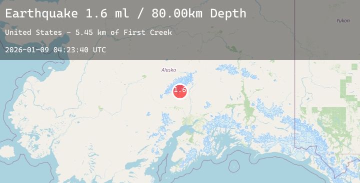
A 1.6 magnitude earthquake struck on 22 km NW of Petersville, Alaska, at Fri, 09 Jan 2026 04:23:40 GMT. Depth: 80km. Reviewed by USGS seismologists, this minor quake occurred at a magnitude type of ml.
Magnitude
1.6
ml
Source
USGS
Intensity
-
Agency Reports
1 Sources| Source | Magnitude | Depth | Time |
|---|---|---|---|
| USGSPrimary | 1.6 | 80 km | 2 days ago |
Earthquake Details
AutomaticEvent IDusgs_ak2026apaogk
Tsunami PotentialNo
Magnitude Typeml
Nearest Places
- First Creek5.4 km
- Prospect Creek5.9 km
- Blank Creek6.5 km
- Siwash Creek7.6 km
- Dutch Hills8.0 km
Comments
Join the discussion about this event.
Latest Earthquakes
3.2Mag
SPAIN
Time2 days ago
Depth10.00 km
SourceIGN (Automatic)
2.2Mag
Java, Indonesia
Time2 days ago
Depth29.59 km
SourceBMKG (Automatic)
2.7Mag
Sumba Region, Indonesia
Time2 days ago
Depth27.38 km
SourceBMKG (Automatic)
2.8Mag
ALBANIA
Time2 days ago
Depth15.00 km
SourceEMSC (Automatic)
1.0Mag
3 km ESE of Berkeley, CA
Time2 days ago
Depth7.06 km
SourceUSGS (Automatic)
Nearby Earthquakes
2.2Mag
28 km NNW of Susitna, Alaska
Time2 days ago
Depth57.40 km
SourceUSGS (Automatic)
1.7Mag
47 km SE of Denali National Park, Alaska
Time2 days ago
Depth127.30 km
SourceUSGS (Automatic)
2.1Mag
27 km SW of Skwentna, Alaska
Time2 days ago
Depth109.30 km
SourceUSGS (Automatic)
2.3Mag
22 km ESE of Denali National Park, Alaska
Time2 days ago
Depth0.00 km
SourceUSGS (Automatic)
1.8Mag
19 km ESE of Skwentna, Alaska
Time2 days ago
Depth10.50 km
SourceUSGS (Automatic)