Earthquake 59 km WSW of Nanwalek, Alaska
Fri, 09 Jan 2026 06:44:26 GMT
Time2 days ago
Location
59.0660, -152.8050
Depth
60.0 KM
Event Summary
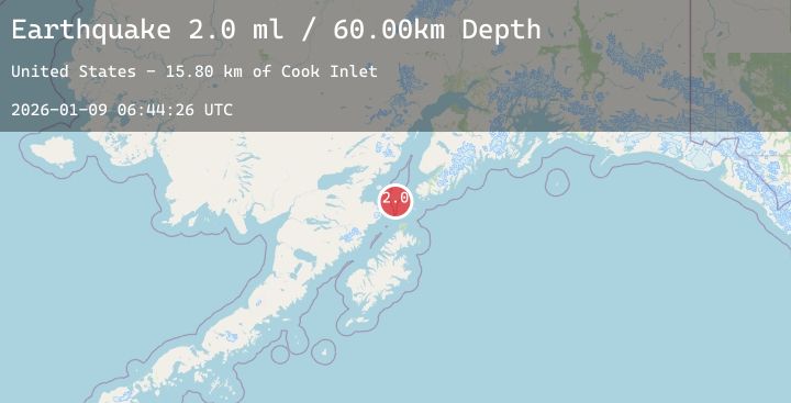
A 2.0 magnitude earthquake struck on 59 km WSW of Nanwalek, Alaska, at Fri, 09 Jan 2026 06:44:26 GMT. Depth: 60km. Reviewed by USGS seismologists, this minor quake occurred at a magnitude type of ml.
Magnitude
2.0
ml
Source
USGS
Intensity
-
Agency Reports
1 Sources| Source | Magnitude | Depth | Time |
|---|---|---|---|
| USGSPrimary | 2.0 | 60 km | 2 days ago |
Earthquake Details
AutomaticEvent IDusgs_ak2026apffoj
Tsunami PotentialNo
Magnitude Typeml
Nearest Places
- Cook Inlet15.8 km
- Northwest Point30.1 km
- Shaw Island33.8 km
- Ushagat Island34.7 km
- Cape Douglas34.9 km
Comments
Join the discussion about this event.
Latest Earthquakes
0.6Mag
23 km N of Borrego Springs, CA
Time2 days ago
Depth9.66 km
SourceUSGS (Automatic)
3.1Mag
Java, Indonesia
Time2 days ago
Depth29.79 km
SourceBMKG (Automatic)
1.6Mag
10 km S of Forsan, Texas
Time2 days ago
Depth1.25 km
SourceUSGS (Automatic)
2.1Mag
CENTRAL TURKEY
Time2 days ago
Depth9.90 km
SourceAFAD (Automatic)
2.4Mag
Northern Sumatra, Indonesia
Time2 days ago
Depth194.27 km
SourceBMKG (Automatic)