Earthquake 37 km WSW of Nanwalek, Alaska
Thu, 08 Jan 2026 07:58:40 GMT
Time1 day ago
Location
59.1830, -152.4860
Depth
64.5 KM
Event Summary
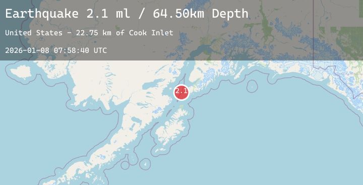
A 2.1 magnitude earthquake struck on 37 km WSW of Nanwalek, Alaska, at Thu, 08 Jan 2026 07:58:40 GMT. Depth: 64.5km. Reviewed by USGS seismologists, this minor quake occurred at a magnitude type of ml.
Magnitude
2.1
ml
Source
USGS
Intensity
-
Agency Reports
1 Sources| Source | Magnitude | Depth | Time |
|---|---|---|---|
| USGSPrimary | 2.1 | 65 km | 1 day ago |
Earthquake Details
AutomaticEvent IDusgs_ak2026anlyqj
Tsunami PotentialNo
Magnitude Typeml
Nearest Places
- Cook Inlet22.7 km
- Northwest Point26.3 km
- Point Adam30.2 km
- Nord Island30.5 km
- Magnet Rock30.7 km
Comments
Join the discussion about this event.
Latest Earthquakes
4.2Mag
12 km E of Cloverdale, California
Time1 day ago
Depth9.00 km
SourceUSGS (Automatic)
2.1Mag
WESTERN TURKEY
Time1 day ago
Depth14.60 km
SourceKOERI (Automatic)
1.2Mag
1 km E of Colton, CA
Time1 day ago
Depth15.49 km
SourceUSGS (Automatic)
1.9Mag
51 km WSW of Salamatof, Alaska
Time1 day ago
Depth82.90 km
SourceUSGS (Automatic)
2.5Mag
PUERTO RICO REGION
Time1 day ago
Depth11.70 km
SourcePR (Automatic)
Nearby Earthquakes
2.4Mag
50 km W of Anchor Point, Alaska
Time1 day ago
Depth84.80 km
SourceUSGS (Automatic)
1.8Mag
57 km E of Pedro Bay, Alaska
Time1 day ago
Depth117.90 km
SourceUSGS (Automatic)
1.9Mag
58 km W of Anchor Point, Alaska
Time1 day ago
Depth92.00 km
SourceUSGS (Automatic)
3.0Mag
SOUTHERN ALASKA
Time2 days ago
Depth54.60 km
SourceAK (Automatic)