Earthquake 67 km SW of Skwentna, Alaska
Fri, 09 Jan 2026 06:55:32 GMT
Time2 days ago
Location
61.5280, -152.2120
Depth
125.1 KM
Event Summary
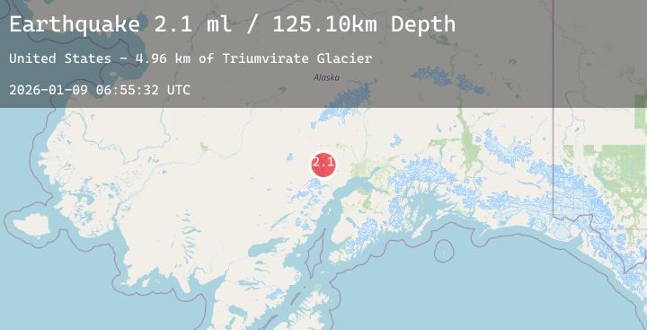
A 2.1 magnitude earthquake struck on 67 km SW of Skwentna, Alaska, at Fri, 09 Jan 2026 06:55:32 GMT. Depth: 125.1km. Reviewed by USGS seismologists, this minor quake occurred at a magnitude type of ml.
Magnitude
2.1
ml
Source
USGS
Intensity
-
Agency Reports
1 Sources| Source | Magnitude | Depth | Time |
|---|---|---|---|
| USGSPrimary | 2.1 | 125 km | 2 days ago |
Earthquake Details
AutomaticEvent IDusgs_ak2026apfpda
Tsunami PotentialNo
Magnitude Typeml
Nearest Places
- Triumvirate Glacier5.0 km
- Frustration Lake12.0 km
- Mount Gerdine13.3 km
- South Branch Trimble Glacier14.1 km
- Hayes Volcano15.2 km
Comments
Join the discussion about this event.
Latest Earthquakes
2.5Mag
Northern Sumatra, Indonesia
Time2 days ago
Depth4.11 km
SourceBMKG (Automatic)
2.0Mag
59 km WSW of Nanwalek, Alaska
Time2 days ago
Depth60.00 km
SourceUSGS (Automatic)
0.6Mag
23 km N of Borrego Springs, CA
Time2 days ago
Depth9.66 km
SourceUSGS (Automatic)
2.6Mag
ALBANIA
Time2 days ago
Depth15.00 km
SourceIGEO (Automatic)
3.1Mag
Java, Indonesia
Time2 days ago
Depth29.79 km
SourceBMKG (Automatic)
Nearby Earthquakes
2.2Mag
28 km NNW of Susitna, Alaska
Time3 days ago
Depth57.40 km
SourceUSGS (Automatic)
1.9Mag
32 km NW of Nikiski, Alaska
Time3 days ago
Depth77.60 km
SourceUSGS (Automatic)
2.1Mag
27 km SW of Skwentna, Alaska
Time3 days ago
Depth109.30 km
SourceUSGS (Automatic)
1.8Mag
19 km ESE of Skwentna, Alaska
Time3 days ago
Depth10.50 km
SourceUSGS (Automatic)