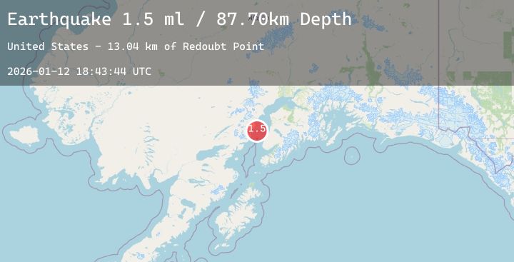
Earthquake 36 km NW of Ninilchik, Alaska
Mon, 12 Jan 2026 18:43:44 GMT
Time6 hours ago
Location
60.2370, -152.2010
Depth
87.7 KM
Event Summary
A 1.5 magnitude earthquake struck on 36 km NW of Ninilchik, Alaska, at Mon, 12 Jan 2026 18:43:44 GMT. Depth: 87.7km. Reviewed by USGS seismologists, this minor quake occurred at a magnitude type of ml.
Magnitude
1.5
ml
Source
USGS
Intensity
-
Agency Reports
1 Sources| Source | Magnitude | Depth | Time |
|---|---|---|---|
| USGSPrimary | 1.5 | 88 km | 6 hours ago |
Earthquake Details
AutomaticEvent IDusgs_ak2026avqgar
Tsunami PotentialNo
Magnitude Typeml
Nearest Places
- Redoubt Point13.0 km
- Redoubt Creek15.1 km
- Polly Creek15.4 km
- Little Polly Creek15.8 km
- Harriet Point17.7 km
Comments
Join the discussion about this event.
Latest Earthquakes
1.6Mag
EASTERN TURKEY
Time5 hours ago
Depth7.00 km
SourceAFAD (Automatic)
4.8Mag
Near North Coast of West Papua
Time5 hours ago
Depth50.89 km
SourceBMKG (Automatic)
2.5Mag
TARAPACA, CHILE
Time5 hours ago
Depth86.40 km
SourceCSN (Automatic)
2.8Mag
Java, Indonesia
Time6 hours ago
Depth22.50 km
SourceBMKG (Automatic)
2.4Mag
CENTRAL TURKEY
Time6 hours ago
Depth7.00 km
SourceEMSC (Automatic)