Earthquake 88 km WNW of Karluk, Alaska
Mon, 12 Jan 2026 21:18:04 GMT
Time3 hours ago
Location
57.7500, -155.9050
Depth
12.2 KM
Event Summary
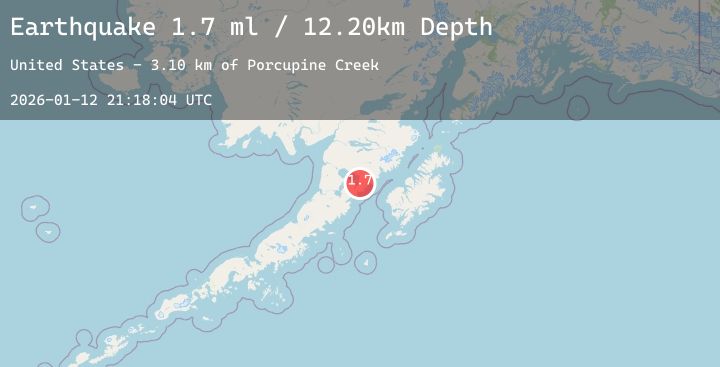
A 1.8 magnitude earthquake struck on 88 km WNW of Karluk, Alaska, at Mon, 12 Jan 2026 21:18:04 GMT. Depth: 12.2km. Reviewed by USGS seismologists, this minor quake occurred at a magnitude type of ml.
Magnitude
1.8
ml
Source
USGS
Intensity
-
Agency Reports
2 Sources| Source | Magnitude | Depth | Time |
|---|---|---|---|
| USGSPrimary | 1.7 | 12 km | 3 hours ago |
| USGSPrimary | 1.8 | 6 km | 3 hours ago |
Earthquake Details
AutomaticEvent IDusgs_ak2026avvizq
Tsunami PotentialNo
Magnitude Typeml
Nearest Places
- Porcupine Creek3.1 km
- Sulphur Creek4.2 km
- Cleo Creek5.3 km
- Becharof Creek5.8 km
- Seal Point6.3 km
Comments
Join the discussion about this event.
Latest Earthquakes
1.6Mag
10 km SSE of Enterprise, Nevada
Time3 hours ago
Depth15.95 km
SourceUSGS (Automatic)
4.2Mag
Talaud Islands, Indonesia
Time3 hours ago
Depth16.91 km
SourceBMKG (Automatic)
1.4Mag
13 km SE of Tehachapi, CA
Time3 hours ago
Depth-0.59 km
SourceUSGS (Automatic)
2.4Mag
EASTERN TURKEY
Time3 hours ago
Depth10.90 km
SourceAFAD (Automatic)
2.8Mag
South of Sumbawa, Indonesia
Time4 hours ago
Depth10.00 km
SourceBMKG (Automatic)
Nearby Earthquakes
No significant earthquakes nearby recently.