Earthquake 67 km NW of Yakutat, Alaska
Mon, 12 Jan 2026 21:56:46 GMT
Time4 hours ago
Location
59.8940, -140.7040
Depth
10.6 KM
Event Summary
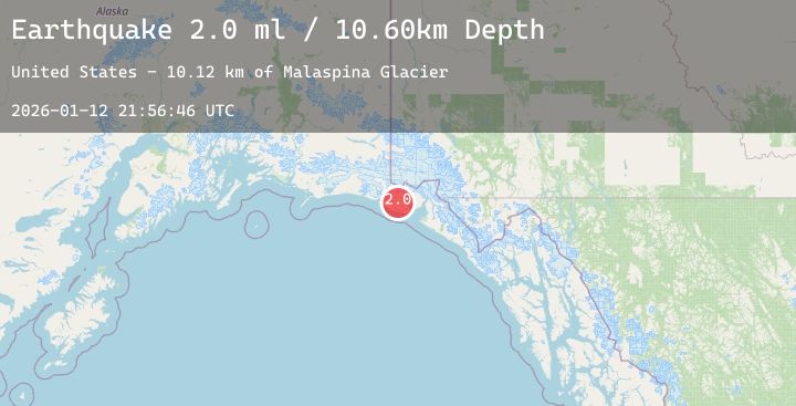
A 2.0 magnitude earthquake struck on 67 km NW of Yakutat, Alaska, at Mon, 12 Jan 2026 21:56:46 GMT. Depth: 10.6km. Reviewed by USGS seismologists, this minor quake occurred at a magnitude type of ml.
Magnitude
2.0
ml
Source
USGS
Intensity
-
Agency Reports
1 Sources| Source | Magnitude | Depth | Time |
|---|---|---|---|
| USGSPrimary | 2.0 | 11 km | 4 hours ago |
Earthquake Details
AutomaticEvent IDusgs_ak2026avwqju
Tsunami PotentialNo
Magnitude Typeml
Nearest Places
- Malaspina Glacier10.1 km
- Sitkagi Bluffs19.6 km
- Fountain Stream19.6 km
- Cape Sitkagi19.8 km
- Moore Nunatak23.8 km
Comments
Join the discussion about this event.
Latest Earthquakes
2.2Mag
ISLAND OF HAWAII, HAWAII
Time4 hours ago
Depth33.60 km
SourceHV (Automatic)
4.1Mag
Banda Sea
Time4 hours ago
Depth141.98 km
SourceBMKG (Automatic)
2.9Mag
West Papua Region, Indonesia
Time4 hours ago
Depth10.00 km
SourceBMKG (Automatic)
1.2Mag
WESTERN TURKEY
Time5 hours ago
Depth7.00 km
SourceAFAD (Automatic)
1.6Mag
10 km SSE of Enterprise, Nevada
Time5 hours ago
Depth15.95 km
SourceUSGS (Automatic)