Earthquake 69 km ENE of Pedro Bay, Alaska
Tue, 13 Jan 2026 03:21:19 GMT
Time1 hour ago
Location
60.1210, -153.0530
Depth
123.8 KM
Event Summary
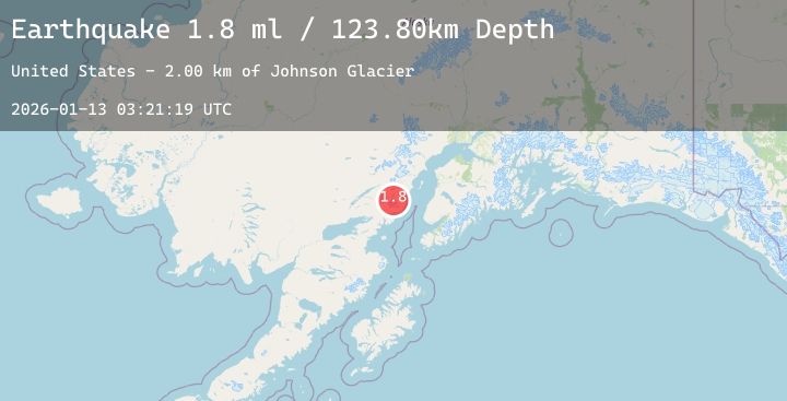
A 1.8 magnitude earthquake struck on 69 km ENE of Pedro Bay, Alaska, at Tue, 13 Jan 2026 03:21:19 GMT. Depth: 123.8km. Reviewed by USGS seismologists, this minor quake occurred at a magnitude type of ml.
Magnitude
1.8
ml
Source
USGS
Intensity
-
Agency Reports
1 Sources| Source | Magnitude | Depth | Time |
|---|---|---|---|
| USGSPrimary | 1.8 | 124 km | 1 hour ago |
Earthquake Details
AutomaticEvent IDusgs_ak2026awhkfb
Tsunami PotentialNo
Magnitude Typeml
Nearest Places
- Johnson Glacier2.0 km
- Tuxedni Glacier2.8 km
- Mount Nick4.4 km
- Lateral Glacier7.5 km
- Iliamna Volcano10.0 km
Comments
Join the discussion about this event.
Latest Earthquakes
2.3Mag
Northern Sumatra, Indonesia
Time1 hour ago
Depth5.00 km
SourceBMKG (Automatic)
0.9Mag
32 km SSE of Minto, Alaska
Time1 hour ago
Depth2.70 km
SourceUSGS (Automatic)
1.8Mag
24 km NNW of Sutton-Alpine, Alaska
Time1 hour ago
Depth19.50 km
SourceUSGS (Automatic)
5.5Mag
EASTER ISLAND REGION
Time1 hour ago
Depth16.00 km
SourceEMSC (Automatic)
4.0Mag
Talaud Islands, Indonesia
Time1 hour ago
Depth38.78 km
SourceBMKG (Automatic)
Nearby Earthquakes
2.3Mag
64 km W of Nanwalek, Alaska
Time2 hours ago
Depth82.80 km
SourceUSGS (Automatic)
1.6Mag
59 km SE of Pedro Bay, Alaska
Time8 hours ago
Depth5.00 km
SourceUSGS (Automatic)
1.5Mag
36 km NW of Ninilchik, Alaska
Time10 hours ago
Depth87.70 km
SourceUSGS (Automatic)
1.5Mag
53 km W of Happy Valley, Alaska
Time20 hours ago
Depth96.80 km
SourceUSGS (Automatic)