Earthquake 44 km W of Petersville, Alaska
Tue, 13 Jan 2026 23:19:25 GMT
Time1 day ago
Location
62.4610, -151.6180
Depth
92.2 KM
Event Summary
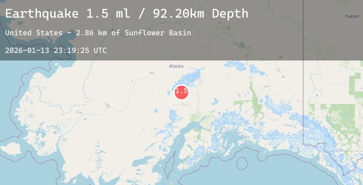
A 1.5 magnitude earthquake struck on 44 km W of Petersville, Alaska, at Tue, 13 Jan 2026 23:19:25 GMT. Depth: 92.2km. Reviewed by USGS seismologists, this minor quake occurred at a magnitude type of ml.
Magnitude
1.5
ml
Source
USGS
Intensity
-
Agency Reports
1 Sources| Source | Magnitude | Depth | Time |
|---|---|---|---|
| USGSPrimary | 1.5 | 92 km | 1 day ago |
Earthquake Details
AutomaticEvent IDusgs_ak2026axvcma
Tsunami PotentialNo
Magnitude Typeml
Nearest Places
- Sunflower Basin2.9 km
- Colorado Creek3.4 km
- California Creek3.8 km
- Slate Creek4.1 km
- Wolverine Creek4.1 km
Comments
Join the discussion about this event.
Latest Earthquakes
4.6Mag
Halmahera, Indonesia
Time13 hours ago
Depth129.63 km
SourceBMKG (Automatic)
3.1Mag
West Papua Region, Indonesia
Time13 hours ago
Depth21.06 km
SourceBMKG (Automatic)
2.1Mag
Sumbawa Region, Indonesia
Time13 hours ago
Depth10.00 km
SourceBMKG (Automatic)
3.2Mag
MINDANAO, PHILIPPINES
Time13 hours ago
Depth15.00 km
SourcePIVS (Automatic)
2.1Mag
NORTHERN ITALY
Time13 hours ago
Depth7.50 km
SourceINGV (Automatic)