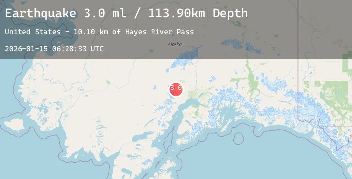
Earthquake 47 km SW of Skwentna, Alaska
Thu, 15 Jan 2026 06:28:35 GMT
Time6 hours ago
Location
61.6700, -151.9830
Depth
101.2 KM
Event Summary
A 3.7 magnitude earthquake struck on 47 km SW of Skwentna, Alaska, at Thu, 15 Jan 2026 06:28:35 GMT. Depth: 101.2km. Reviewed by USGS seismologists, this minor quake occurred at a magnitude type of ml.
Magnitude
3.7
ml
Source
USGS
Intensity
-
Agency Reports
2 Sources| Source | Magnitude | Depth | Time |
|---|---|---|---|
| USGSPrimary | 3.7 | 101 km | 6 hours ago |
| NEIC | 3.7 | 119 km | 6 hours ago |
Earthquake Details
ConfirmedEvent IDusgs_ak2026bafbdh
Tsunami PotentialNo
Magnitude Typeml
Nearest Places
- Entrance Point7.5 km
- Hayes River Pass7.5 km
- Trimble Glacier7.7 km
- South Branch Trimble Glacier9.0 km
- North Branch Trimble Glacier13.8 km
Comments
Join the discussion about this event.
Latest Earthquakes
2.1Mag
Flores Sea
Time6 hours ago
Depth17.96 km
SourceBMKG (Automatic)
3.6Mag
ECUADOR
Time6 hours ago
Depth95.00 km
SourceQUI (Automatic)
2.2Mag
WESTERN TEXAS
Time6 hours ago
Depth4.60 km
SourceTX (Automatic)
1.4Mag
23 km SE of Chickaloon, Alaska
Time6 hours ago
Depth20.50 km
SourceUSGS (Automatic)
4.2Mag
West Papua, Indonesia
Time6 hours ago
Depth100.97 km
SourceBMKG (Automatic)