Earthquake 26 km WSW of Point MacKenzie, Alaska
Thu, 15 Jan 2026 08:20:16 GMT
Time4 hours ago
Location
61.2790, -150.4500
Depth
37.0 KM
Event Summary
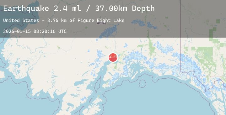
A 2.4 magnitude earthquake struck on 26 km WSW of Point MacKenzie, Alaska, at Thu, 15 Jan 2026 08:20:16 GMT. Depth: 37km. Reviewed by USGS seismologists, this minor quake occurred at a magnitude type of ml.
Magnitude
2.4
ml
Source
USGS
Intensity
-
Agency Reports
1 Sources| Source | Magnitude | Depth | Time |
|---|---|---|---|
| USGSPrimary | 2.4 | 37 km | 4 hours ago |
Earthquake Details
AutomaticEvent IDusgs_ak2026baitkv
Tsunami PotentialNo
Magnitude Typeml
Nearest Places
- Figure Eight Lake3.8 km
- Magot Point4.6 km
- Delta Island5.5 km
- Susni Kaq'6.4 km
- Susitna River6.8 km
Comments
Join the discussion about this event.
Latest Earthquakes
2.9Mag
JUJUY, ARGENTINA
Time5 hours ago
Depth275.00 km
SourceNSNA (Automatic)
1.4Mag
9 km NW of The Geysers, CA
Time5 hours ago
Depth1.62 km
SourceUSGS (Automatic)
1.0Mag
WESTERN TURKEY
Time5 hours ago
Depth7.70 km
SourceAFAD (Automatic)
1.3Mag
NEAR THE COAST OF WESTERN TURKEY
Time5 hours ago
Depth7.10 km
SourceAFAD (Automatic)
1.5Mag
22 km NE of San Ardo, CA
Time5 hours ago
Depth1.04 km
SourceUSGS (Automatic)
Nearby Earthquakes
3.7Mag
47 km SW of Skwentna, Alaska
Time6 hours ago
Depth101.20 km
SourceUSGS
1.8Mag
33 km NW of Willow, Alaska
Time7 hours ago
Depth13.70 km
SourceUSGS (Automatic)
2.0Mag
4 km N of Houston, Alaska
Time10 hours ago
Depth15.30 km
SourceUSGS (Automatic)
1.9Mag
47 km WNW of Beluga, Alaska
Time14 hours ago
Depth90.70 km
SourceUSGS (Automatic)
2.0Mag
1 km NNW of Houston, Alaska
Time15 hours ago
Depth27.90 km
SourceUSGS (Automatic)