Earthquake 100 km N of Karluk, Alaska
Thu, 15 Jan 2026 14:28:19 GMT
Time1 hour ago
Location
58.4680, -154.4730
Depth
5.5 KM
Event Summary
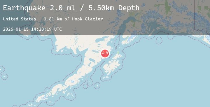
A 2.0 magnitude earthquake struck on 100 km N of Karluk, Alaska, at Thu, 15 Jan 2026 14:28:19 GMT. Depth: 5.5km. Reviewed by USGS seismologists, this minor quake occurred at a magnitude type of ml.
Magnitude
2.0
ml
Source
USGS
Intensity
-
Agency Reports
1 Sources| Source | Magnitude | Depth | Time |
|---|---|---|---|
| USGSPrimary | 2.0 | 6 km | 1 hour ago |
Earthquake Details
AutomaticEvent IDusgs_ak2026bauypd
Tsunami PotentialNo
Magnitude Typeml
Nearest Places
- Hook Glacier1.8 km
- Mount Denison5.7 km
- Mount Steller6.3 km
- Kukak Volcano7.1 km
- Devils Desk10.2 km
Comments
Join the discussion about this event.
Latest Earthquakes
3.4Mag
Talaud Islands, Indonesia
Time1 hour ago
Depth55.21 km
SourceBMKG (Automatic)
2.6Mag
Timor Region
Time2 hours ago
Depth18.41 km
SourceBMKG (Automatic)
1.5Mag
WESTERN TURKEY
Time2 hours ago
Depth7.90 km
SourceAFAD (Automatic)
2.1Mag
NORTHERN CALIFORNIA
Time2 hours ago
Depth1.80 km
SourceNC (Automatic)
3.4Mag
OFF COAST OF COSTA RICA
Time2 hours ago
Depth2.00 km
SourceUNA (Automatic)
Nearby Earthquakes
2.0Mag
86 km N of Karluk, Alaska
Time4 hours ago
Depth5.00 km
SourceUSGS (Automatic)
1.7Mag
80 km NNW of Aleneva, Alaska
Time6 hours ago
Depth13.50 km
SourceUSGS (Automatic)
1.8Mag
28 km NNE of Karluk, Alaska
Time10 hours ago
Depth32.80 km
SourceUSGS (Automatic)
1.0Mag
46 km NW of Karluk, Alaska
Time15 hours ago
Depth78.40 km
SourceUSGS (Automatic)
1.0Mag
83 km NNW of Karluk, Alaska
Time18 hours ago
Depth5.00 km
SourceUSGS (Automatic)