Earthquake 80 km NNW of Aleneva, Alaska
Thu, 15 Jan 2026 10:19:17 GMT
Time4 hours ago
Location
58.6780, -153.6360
Depth
13.5 KM
Event Summary
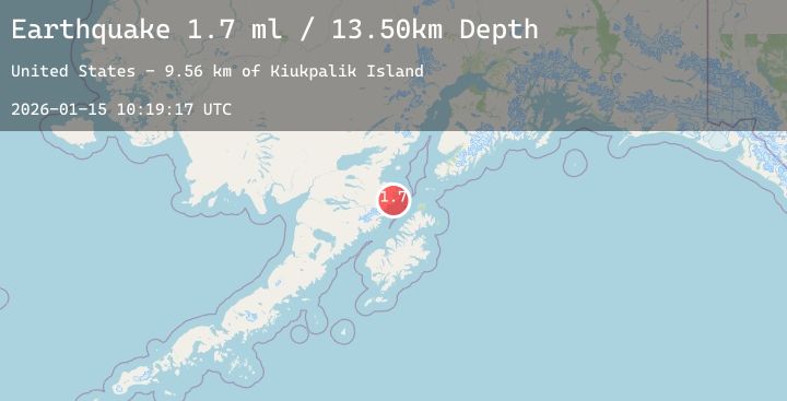
A 1.7 magnitude earthquake struck on 80 km NNW of Aleneva, Alaska, at Thu, 15 Jan 2026 10:19:17 GMT. Depth: 13.5km. Reviewed by USGS seismologists, this minor quake occurred at a magnitude type of ml.
Magnitude
1.7
ml
Source
USGS
Intensity
-
Agency Reports
1 Sources| Source | Magnitude | Depth | Time |
|---|---|---|---|
| USGSPrimary | 1.7 | 14 km | 4 hours ago |
Earthquake Details
AutomaticEvent IDusgs_ak2026bamrzq
Tsunami PotentialNo
Magnitude Typeml
Nearest Places
- Kiukpalik Island9.6 km
- Swikshak Lagoon9.6 km
- Fourpeaked Mountain10.5 km
- Swikshak11.1 km
- Swikshak River11.4 km
Comments
Join the discussion about this event.
Latest Earthquakes
1.3Mag
11 km SSW of Valencia, CA
Time4 minutes ago
Depth5.88 km
SourceUSGS (Automatic)
2.3Mag
Near North Coast of West Papua
Time11 minutes ago
Depth10.00 km
SourceBMKG (Automatic)
2.1Mag
Sumba Region, Indonesia
Time11 minutes ago
Depth47.56 km
SourceBMKG (Automatic)
1.3Mag
2 km SE of Pacifica, CA
Time13 minutes ago
Depth9.77 km
SourceUSGS (Automatic)
2.5Mag
47 km E of Denali National Park, Alaska
Time15 minutes ago
Depth2.80 km
SourceUSGS (Automatic)
Nearby Earthquakes
2.0Mag
100 km N of Karluk, Alaska
Time19 minutes ago
Depth5.50 km
SourceUSGS (Automatic)
2.0Mag
86 km N of Karluk, Alaska
Time3 hours ago
Depth5.00 km
SourceUSGS (Automatic)
2.1Mag
31 km W of Nanwalek, Alaska
Time7 hours ago
Depth72.30 km
SourceUSGS (Automatic)
1.0Mag
83 km NNW of Karluk, Alaska
Time17 hours ago
Depth5.00 km
SourceUSGS (Automatic)
1.4Mag
88 km SSE of Kokhanok, Alaska
Time22 hours ago
Depth15.90 km
SourceUSGS (Automatic)