Earthquake 36 km NNW of Ester, Alaska
Thu, 15 Jan 2026 14:46:12 GMT
Time5 hours ago
Location
65.1450, -148.3320
Depth
18.3 KM
Event Summary
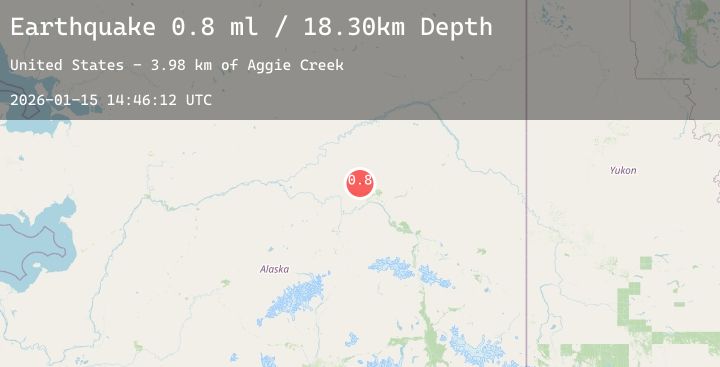
A 0.8 magnitude earthquake struck on 36 km NNW of Ester, Alaska, at Thu, 15 Jan 2026 14:46:12 GMT. Depth: 18.3km. Reviewed by USGS seismologists, this minor quake occurred at a magnitude type of ml.
Magnitude
0.8
ml
Source
USGS
Intensity
-
Agency Reports
1 Sources| Source | Magnitude | Depth | Time |
|---|---|---|---|
| USGSPrimary | 0.8 | 18 km | 5 hours ago |
Earthquake Details
AutomaticEvent IDusgs_ak2026bavnzt
Tsunami PotentialNo
Magnitude Typeml
Nearest Places
- Aggie Creek4.0 km
- Twin Creek10.4 km
- Globe Creek12.2 km
- Shovel Creek13.6 km
- Slate Creek13.8 km
Comments
Join the discussion about this event.
Latest Earthquakes
2.3Mag
WESTERN TEXAS
Time5 minutes ago
Depth4.20 km
SourceTX (Automatic)
2.2Mag
Northern Sumatra, Indonesia
Time7 minutes ago
Depth5.00 km
SourceBMKG (Automatic)
1.7Mag
16 km W of Coronado, CA
Time9 minutes ago
Depth13.24 km
SourceUSGS (Automatic)
1.7Mag
64 km S of Cantwell, Alaska
Time14 minutes ago
Depth70.80 km
SourceUSGS (Automatic)
2.1Mag
Minahassa Peninsula, Sulawesi
Time16 minutes ago
Depth25.14 km
SourceBMKG (Automatic)
Nearby Earthquakes
0.8Mag
27 km E of Livengood, Alaska
Time22 minutes ago
Depth14.10 km
SourceUSGS (Automatic)
1.3Mag
13 km ENE of Fox, Alaska
Time3 hours ago
Depth1.90 km
SourceUSGS (Automatic)
0.9Mag
7 km SSE of Eielson Air Force Base, Alaska
Time9 hours ago
Depth16.70 km
SourceUSGS (Automatic)
0.8Mag
25 km SSW of Minto, Alaska
Time16 hours ago
Depth22.70 km
SourceUSGS (Automatic)
1.3Mag
13 km E of Fox, Alaska
Time19 hours ago
Depth5.00 km
SourceUSGS (Automatic)