Earthquake 69 km WNW of Yakutat, Alaska
Thu, 15 Jan 2026 17:18:20 GMT
Time2 hours ago
Location
59.8620, -140.7850
Depth
5.0 KM
Event Summary
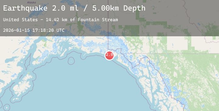
A 2.0 magnitude earthquake struck on 69 km WNW of Yakutat, Alaska, at Thu, 15 Jan 2026 17:18:20 GMT. Depth: 5km. Reviewed by USGS seismologists, this minor quake occurred at a magnitude type of ml.
Magnitude
2.0
ml
Source
USGS
Intensity
-
Agency Reports
1 Sources| Source | Magnitude | Depth | Time |
|---|---|---|---|
| USGSPrimary | 2.0 | 5 km | 2 hours ago |
Earthquake Details
AutomaticEvent IDusgs_ak2026bbapcb
Tsunami PotentialNo
Magnitude Typeml
Nearest Places
- Fountain Stream14.4 km
- Cape Sitkagi14.5 km
- Malaspina Glacier15.8 km
- Sitkagi Bluffs16.7 km
- Yana Stream20.2 km
Comments
Join the discussion about this event.
Latest Earthquakes
3.6Mag
ANTOFAGASTA, CHILE
Time2 hours ago
Depth238.20 km
SourceCSN (Automatic)
2.1Mag
ISLAND OF HAWAII, HAWAII
Time2 hours ago
Depth43.20 km
SourceHV (Automatic)
3.3Mag
ALBANIA
Time2 hours ago
Depth15.00 km
SourceIGEO (Automatic)
1.4Mag
7 km WSW of Holtville, CA
Time2 hours ago
Depth10.65 km
SourceUSGS (Automatic)
2.6Mag
Sumba Region, Indonesia
Time2 hours ago
Depth9.40 km
SourceBMKG (Automatic)